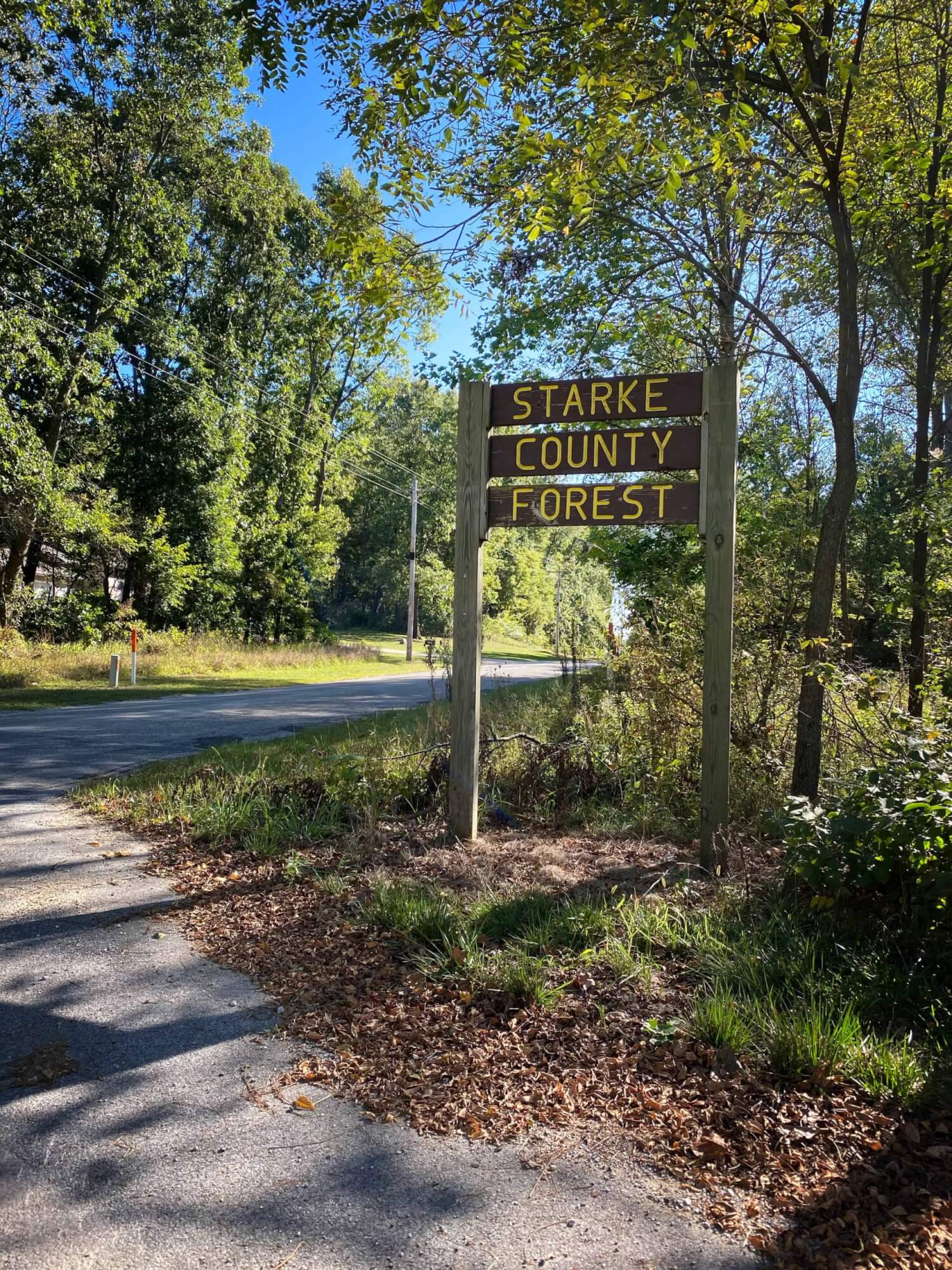
Did you know that the informational kiosk at the Starke County Forest was made with wood harvested there?
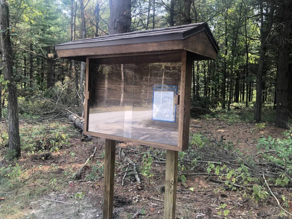

Starke County Forest Self Guided Hike
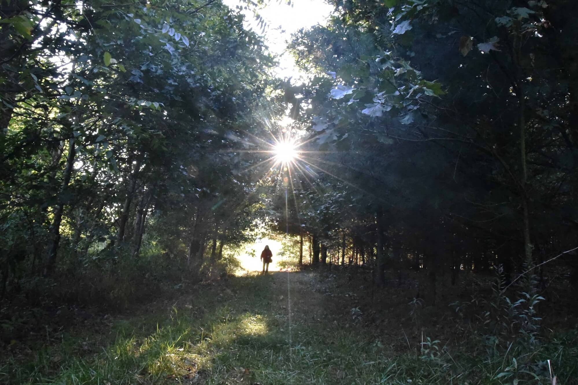
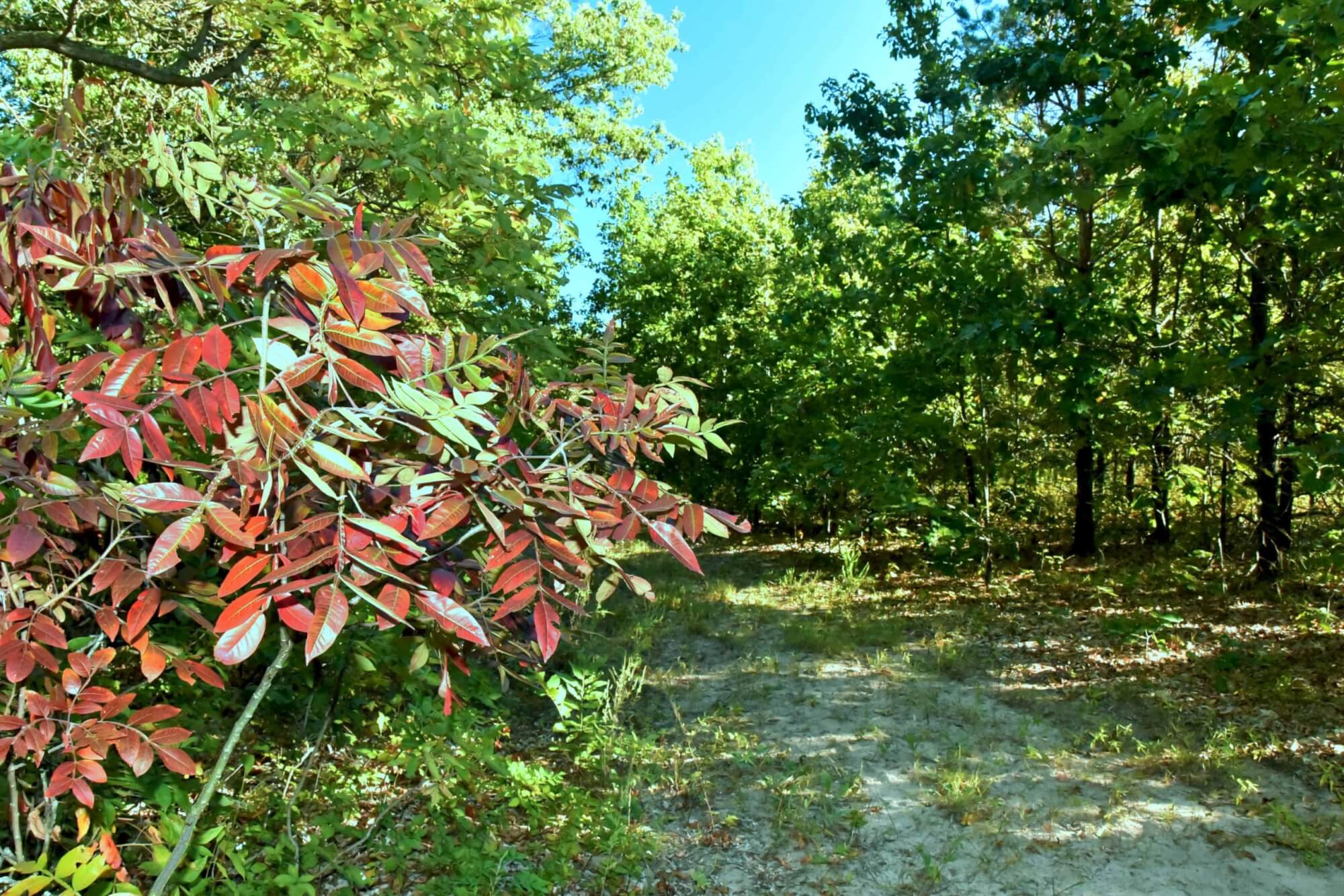
Starting from the parking lot
The Starke County Forest includes 129 acres between Division Road and State Road 8. The forest was donated to Starke County in 2011. The purpose is to provide a location for forest and wetland education and recreation for the general public. It includes 5 miles of walking trails giving access to approximately 22 acres of ponds and marshes, 40 acres of native woodlands, 62 acres of tree planting, and 5 acres of open areas. The sale of timber pays for improvements and maintenance of the property.
This walking guide stays within the northmost 80 acres. This part of the forest was granted from the US Government to John Marks in 1852 in payment for his military service. He sold it two years later for $150. After the civil war a house and barn were built, and land was cleared for farming between Division road and the marsh. The barn was between the parking lot and the road and the house was to the east of the barn. The house was lived in until 1997, when because of its deteriorating condition, it was burned down by the Washington Township fire department as a training exercise. The barn was large and painted white, it had a hay loft with a gabled roof. It was in bad condition and torn down in 1995.
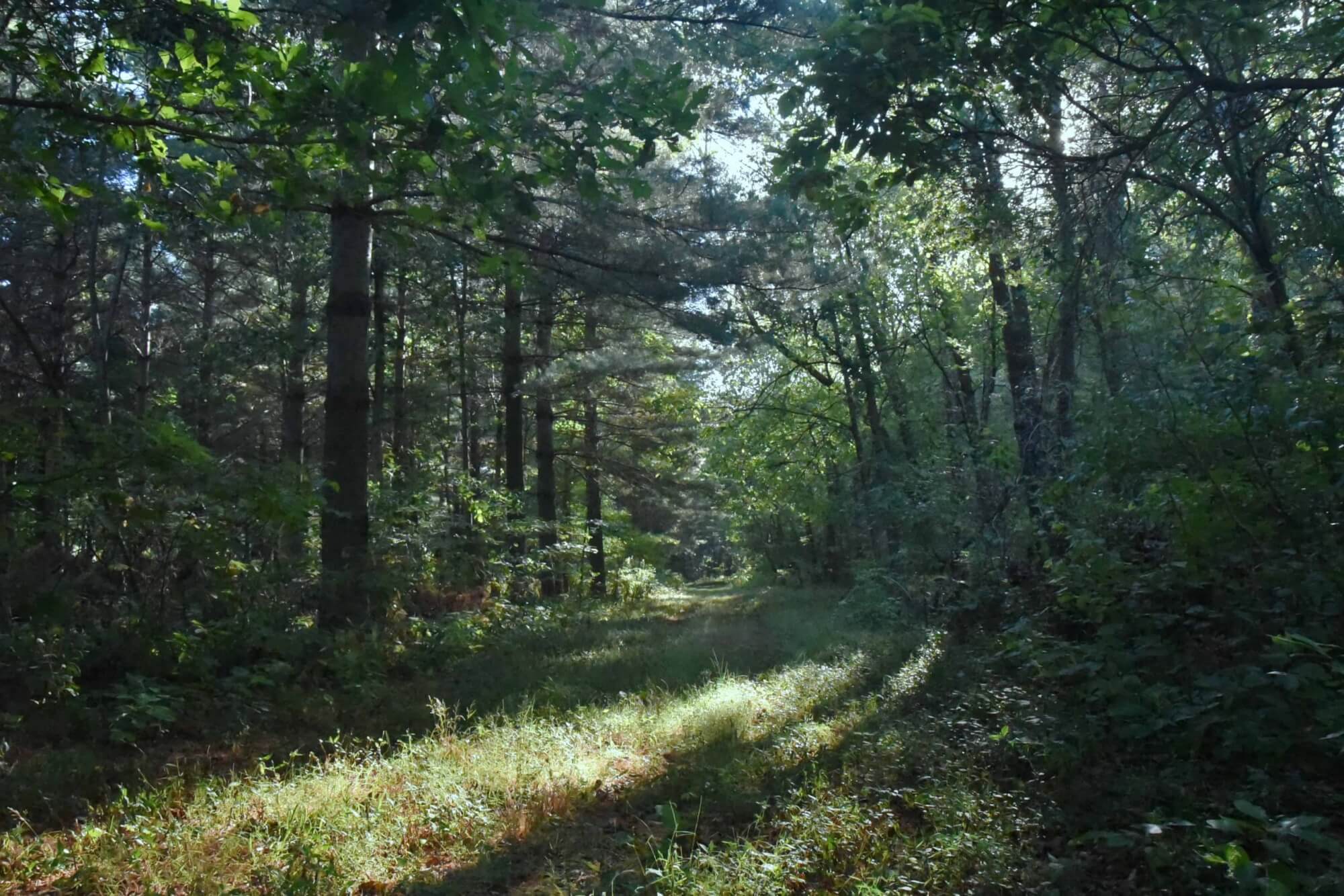
In 1985 Bruce Wakeland purchased these 80 acres. Except for the house and barn, all the ground between the road and Marsh was cleared and being farmed. In 1985 it was planted to soybeans. In the spring of 1986 Bruce planted a three-row wind break around the house and barn. The red pines are gone, but the spruce and white pine are still there, except those cut down to make room for the parking lot. The 9.5 acres to the south of the parking lot, behind the map sign, and east of the main north-south lane to the marsh was also planted to trees in 1986. The 5 acres adjoining the west side of the parking lot was planted to trees in 1989. Five acres south of the parking lot and west of the main lane was planted to trees in 2000. Trees planted in these three areas included white pine, black walnut, red oak, white oak, tulip, soft maple, sycamore, and bur oak. There were many deer in these areas after the year 2000. The 5 acres of trees planted in 2000, are currently mostly white pine, because the deer ate most of the hardwood trees shortly after they were planted.
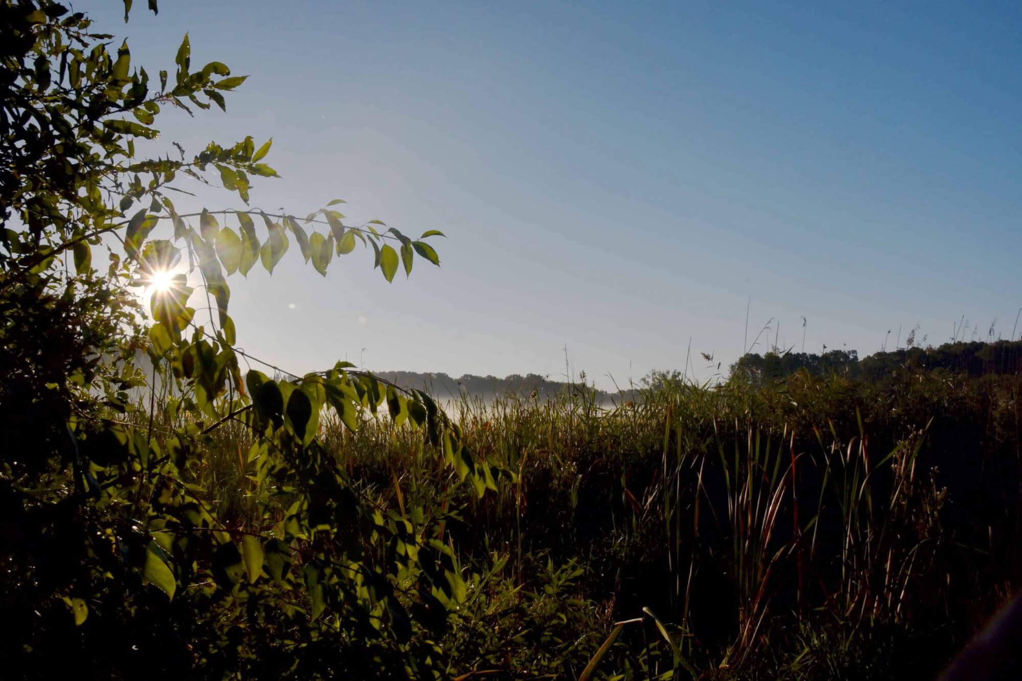
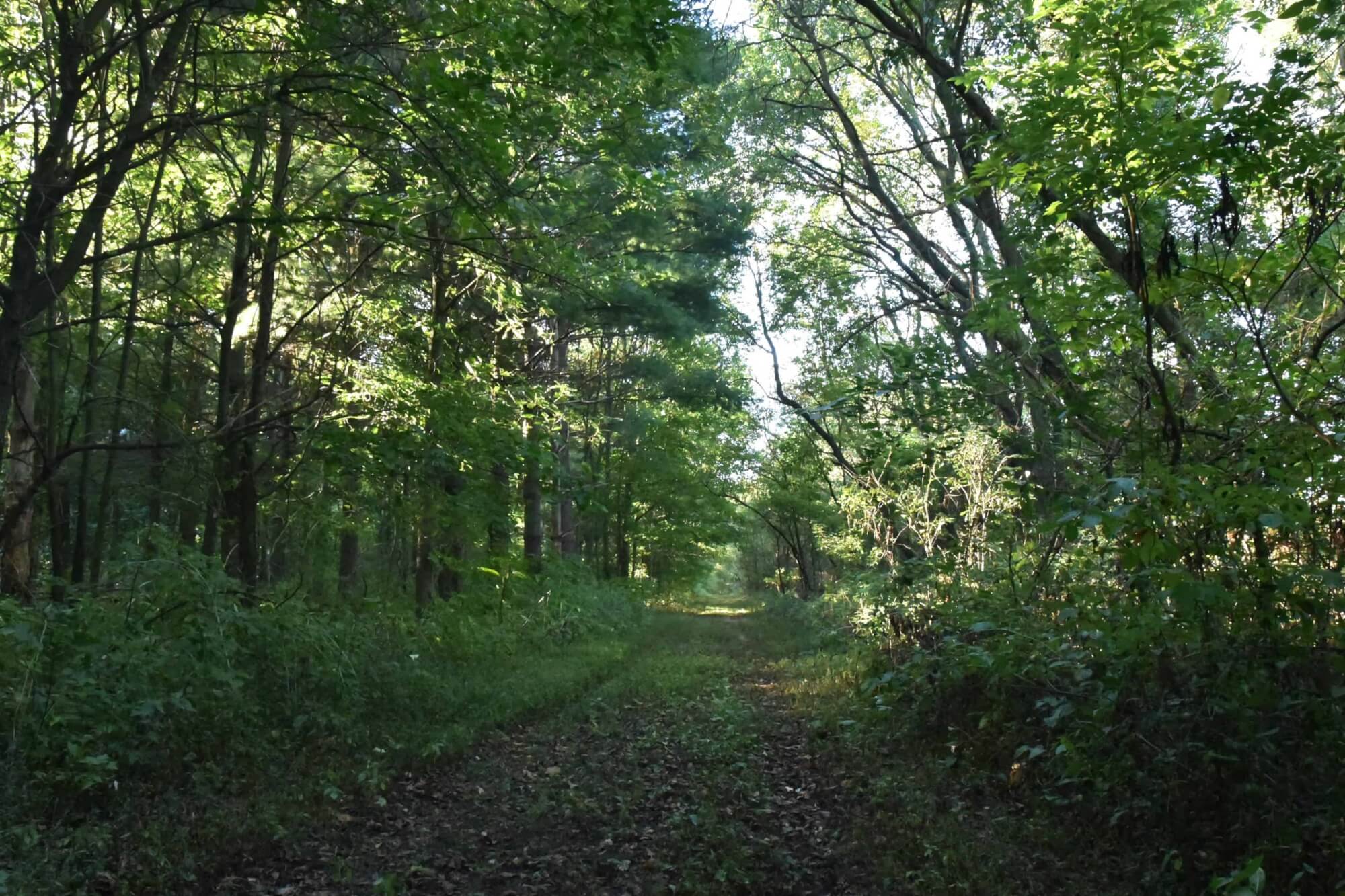
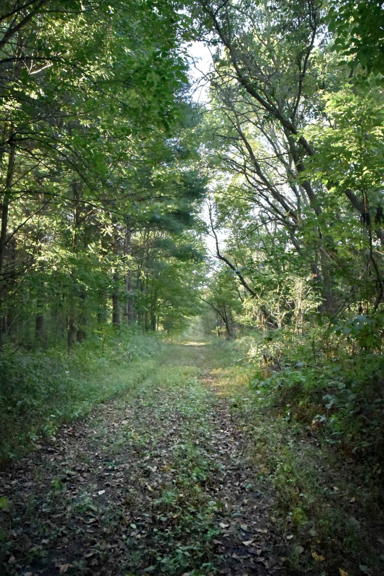
Walk south down the main lane to the marsh and to the observation tower.
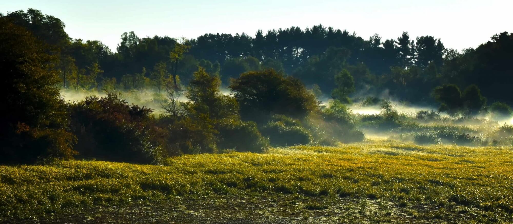
This 18-acre marsh formed as the glacier melted 12,000 years ago. A ditch was constructed through the marsh by the county in 1898 going from the east to the west that drained the marsh. The lane through the marsh, which is the trail you just walked, was built to give farming access to the south part of the 80 acres, and to allow the drained marsh to be farmed. Onions were grown in the marsh until World War II.
From 1948 through 1950 marl, used for ag lime, was mined from the marsh. Marl is a grey clay like substance that formed in the bottom of shallow lakes. It was dug with a dragline crane and the marl was piled on high ground to dry in the area where the brushy marsh trail is located. Marl would dry into a white power and was sold to farmers to spread over corn fields. The large west most triangle shaped pond was where most of the marl was mined, but two other small ponds north of the observation tower were also created this way. In most parts of the marsh there is a thick laver of peat moss under the water and over the marl. At the observation tower the peat is 20 foot deep.
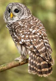
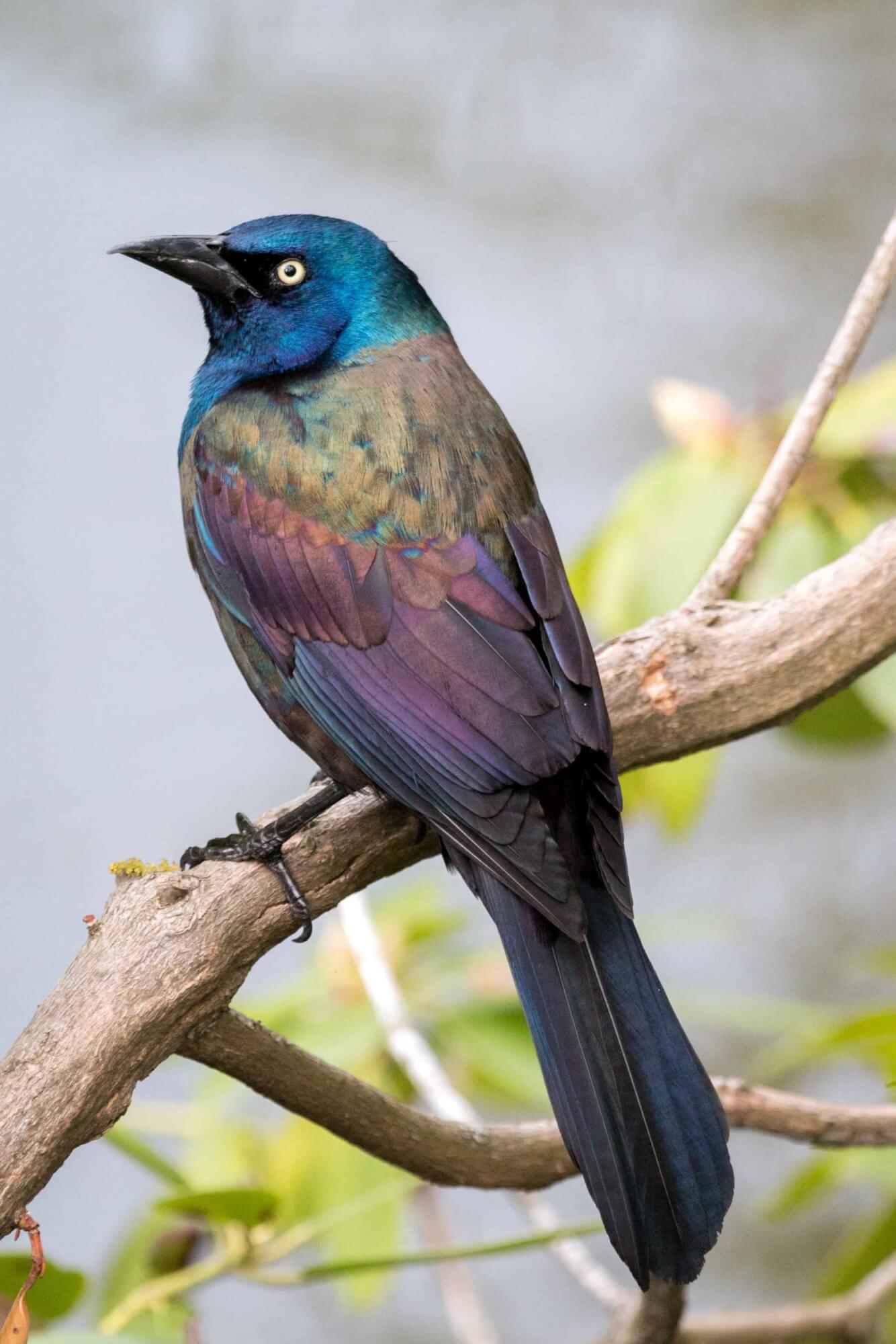
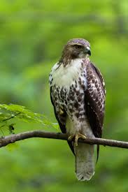
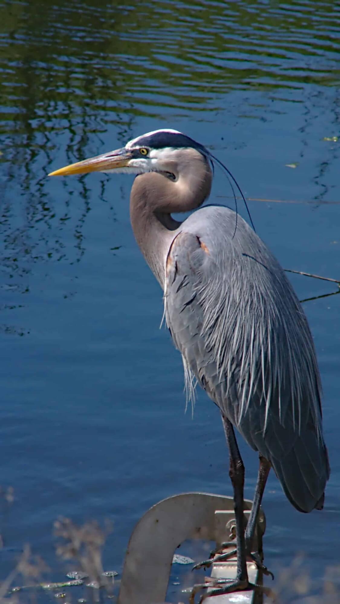
Beavers showed up in the marsh by 1950 and dammed up the ditch recreating the marsh that had existed before it was drained in 1898. Because of the marl mining, and the digging of 3 other small ponds, the marsh has a fair amount of open water that is great for many kinds of fish, turtles, snakes (none are poisonous), minks, muskrats, birds, raptors, and waterfowl. The county drainage board has required that the beavers be trapped from the marsh in order to maintain drainage via the 1898 ditch.
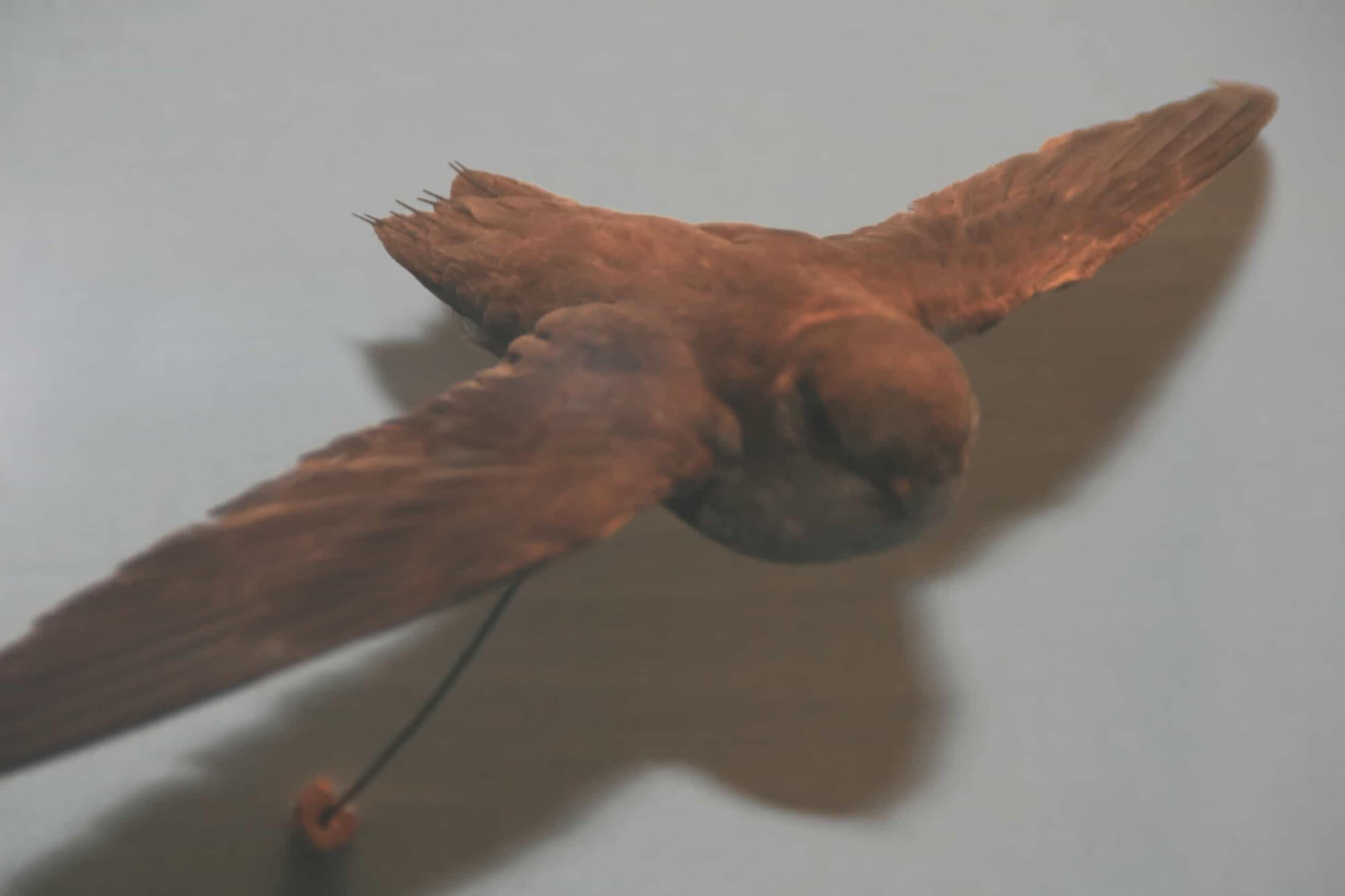
The platform on the utility pole to the west of the observation tower is an osprey nesting platform. It was used by Osprey for three years until 2008 when geese ran the osprey off. Several young ospreys were fledged during that three years the osprey used the platform. I am hopeful that we will once again get osprey nesting on the platform. The large nesting boxes in the marsh are for wood ducts. We get a good number of young wood ducks born and raised in the marsh each year. Watch for the young wood ducks during the second half of the summer.
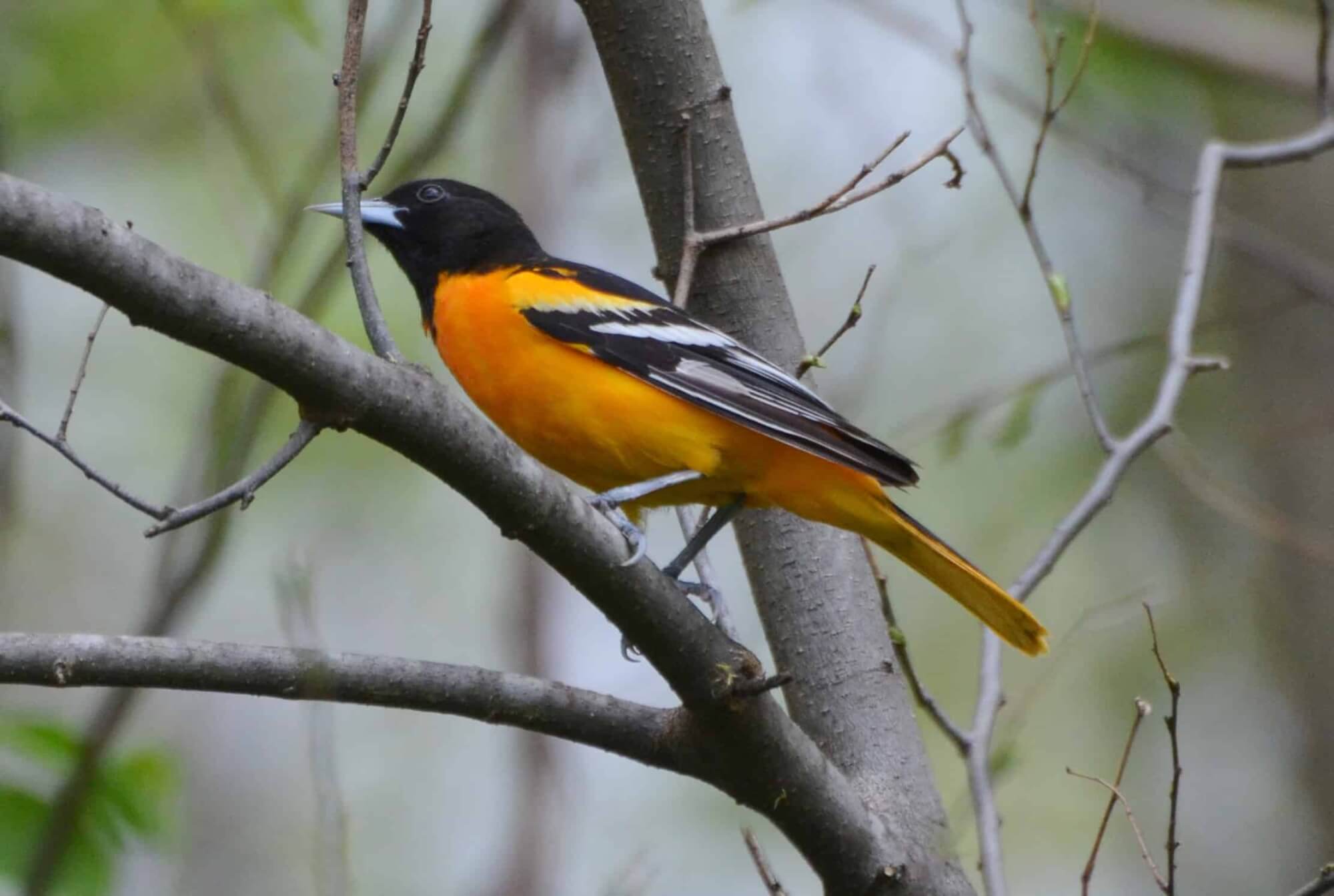
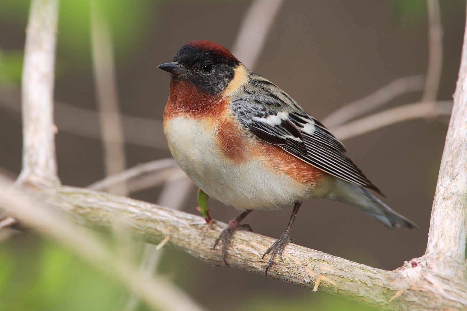
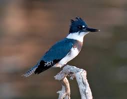
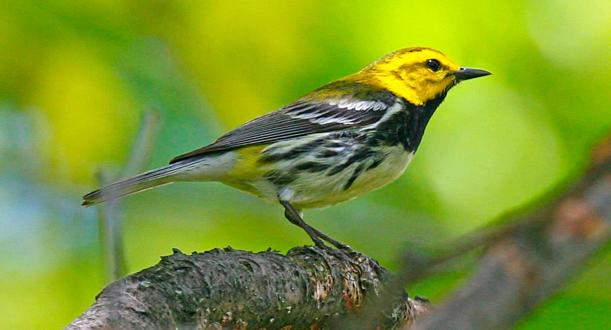
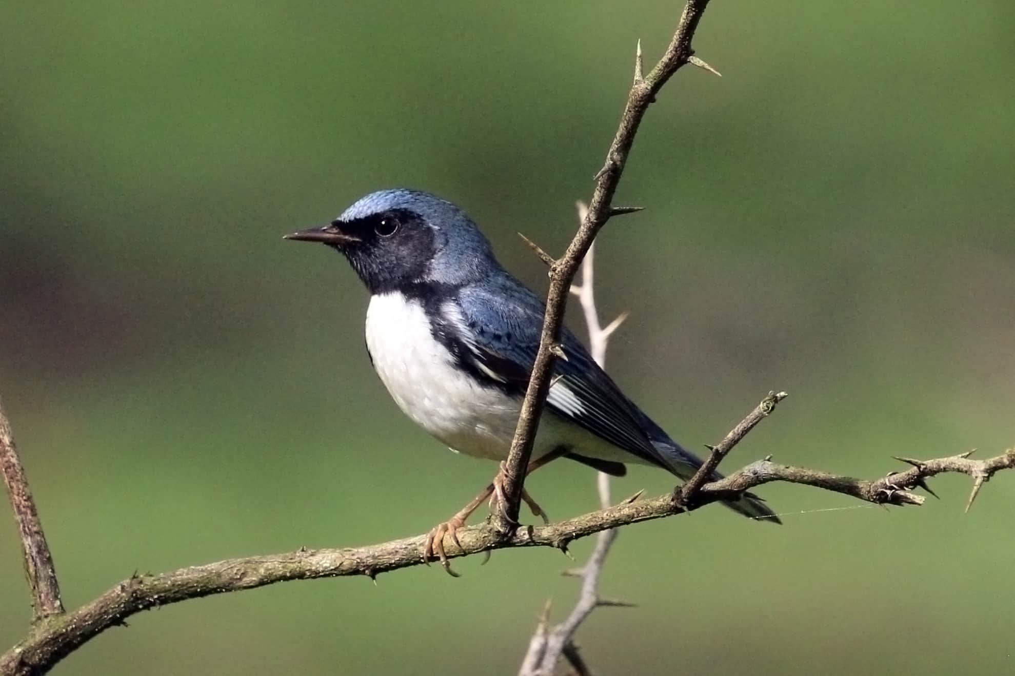
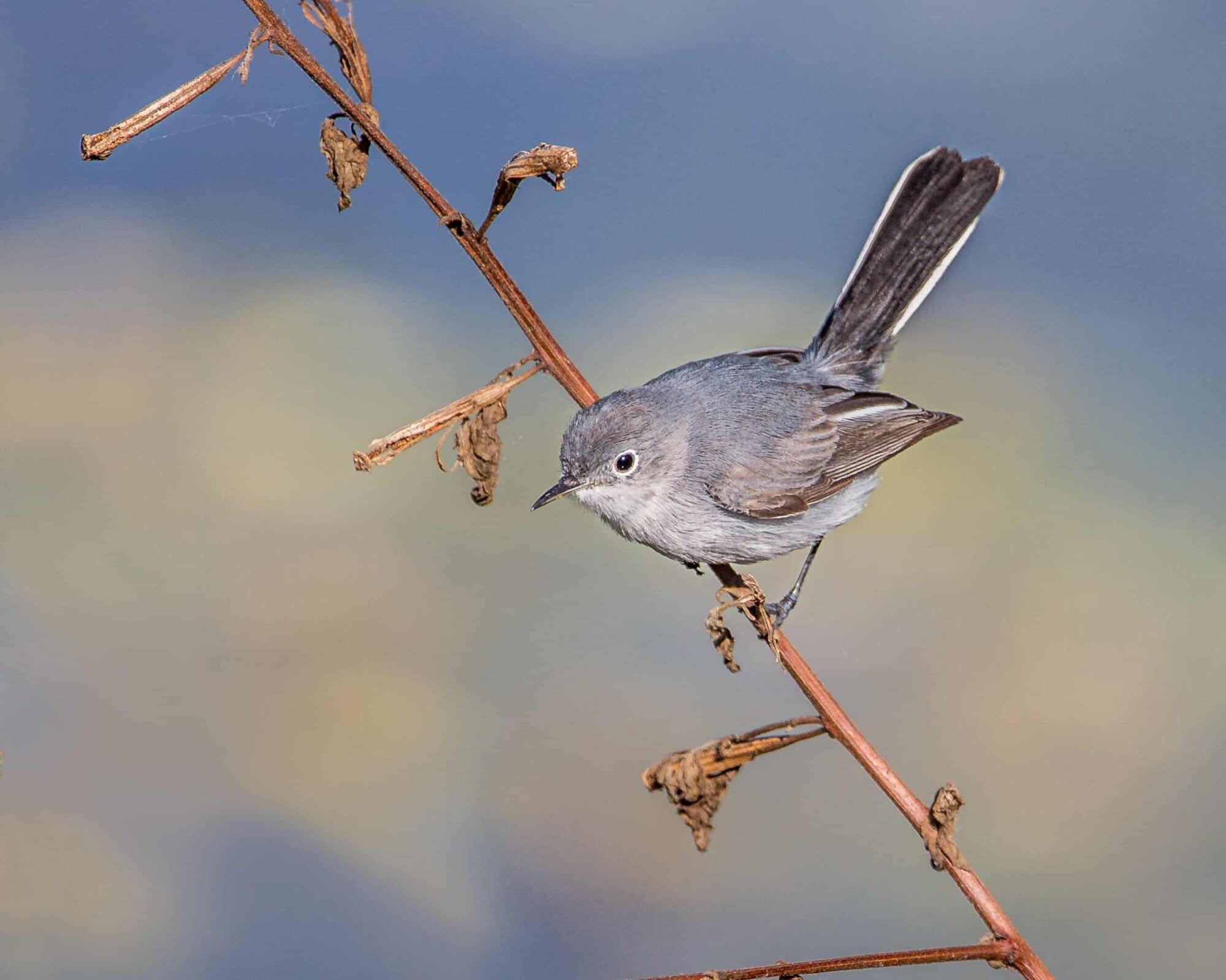
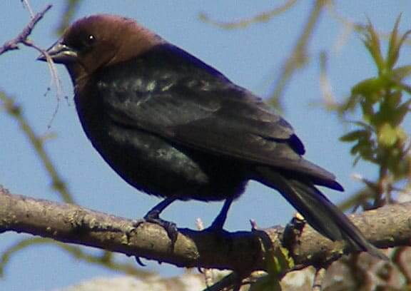
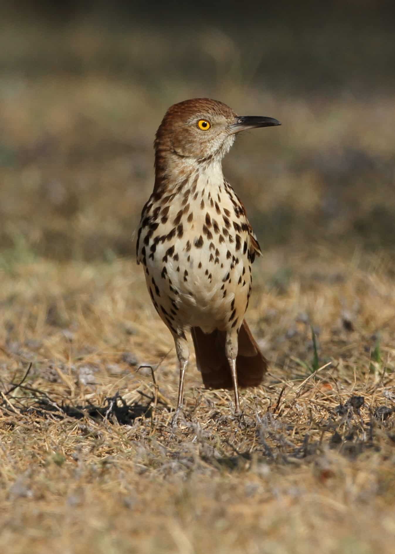
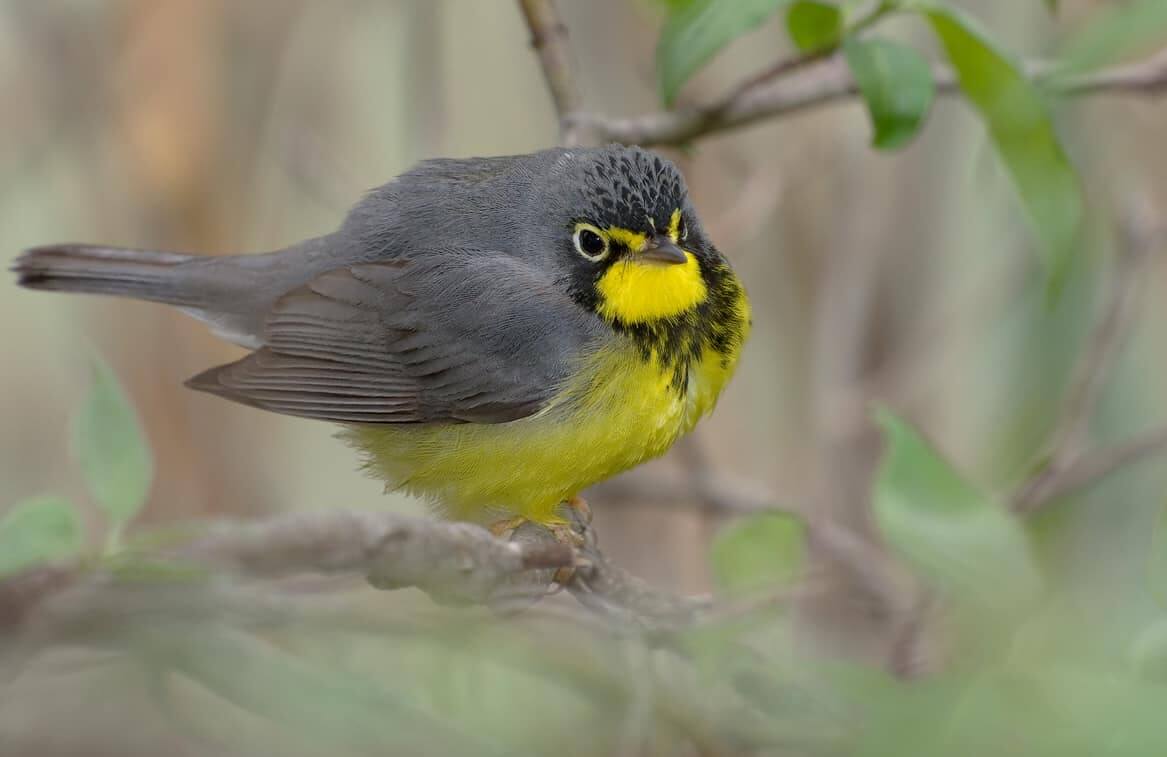
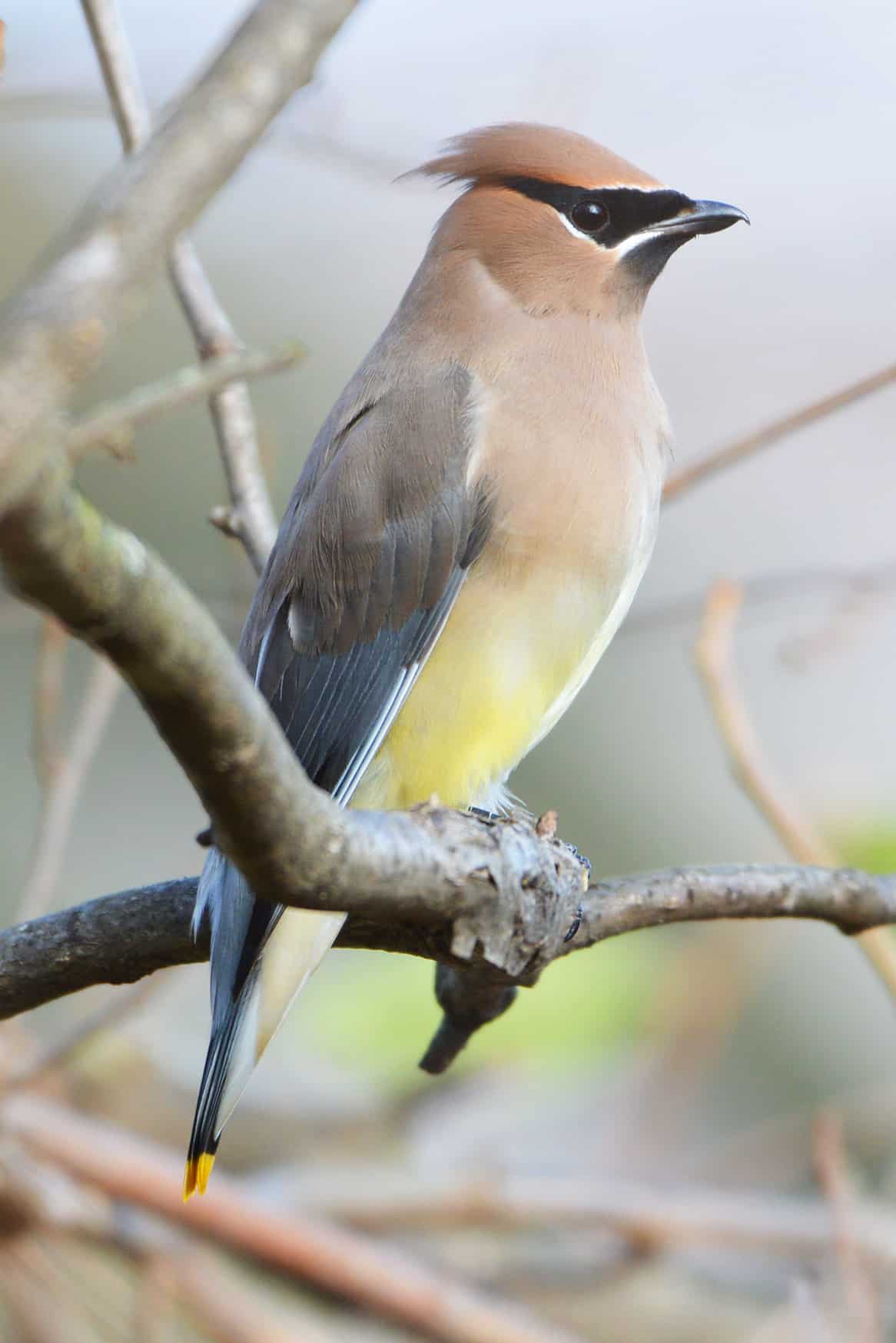
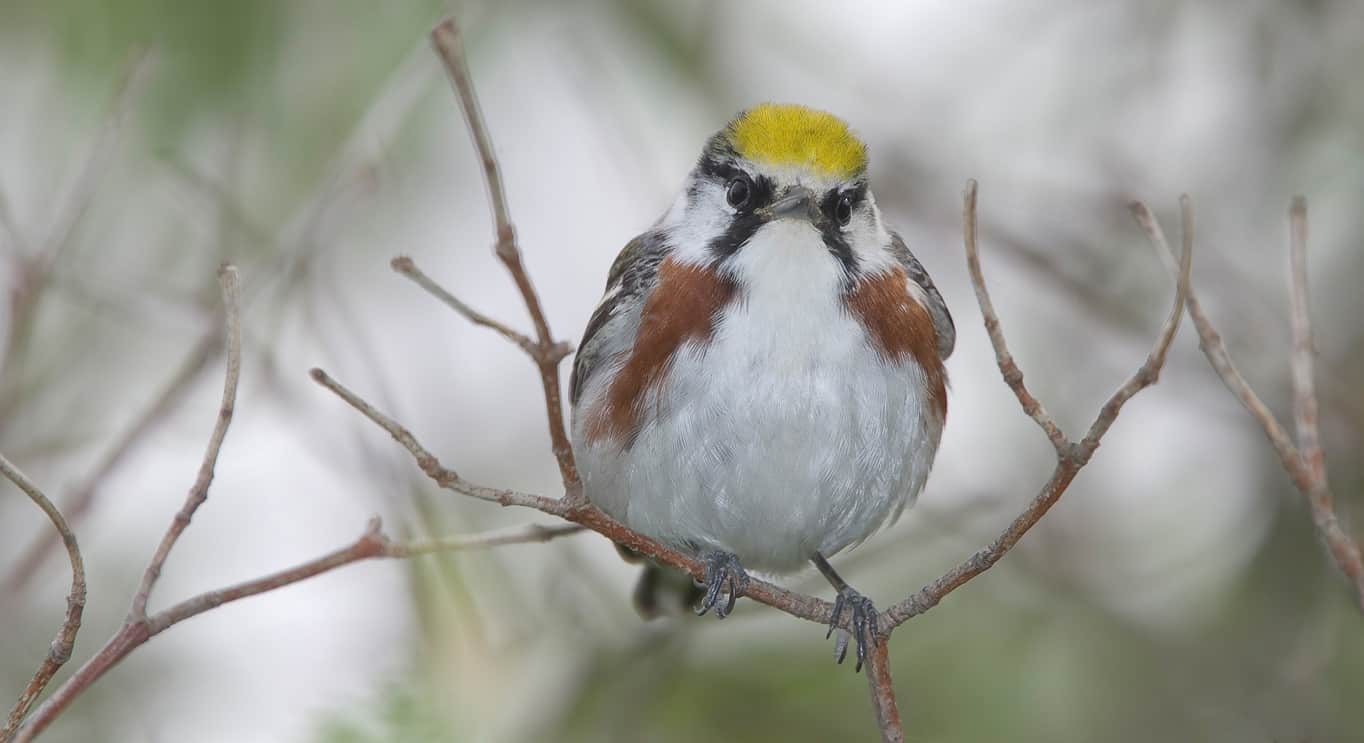
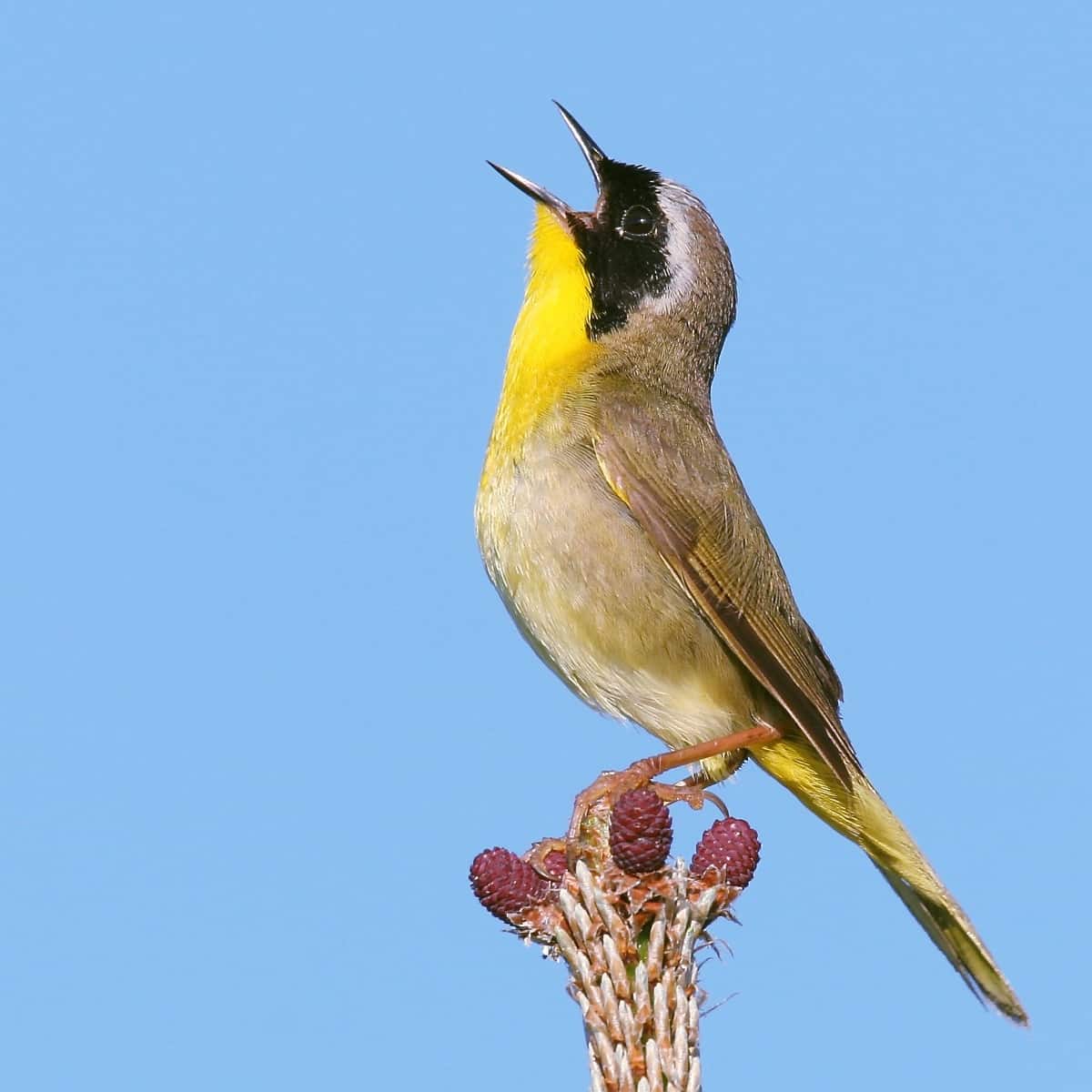
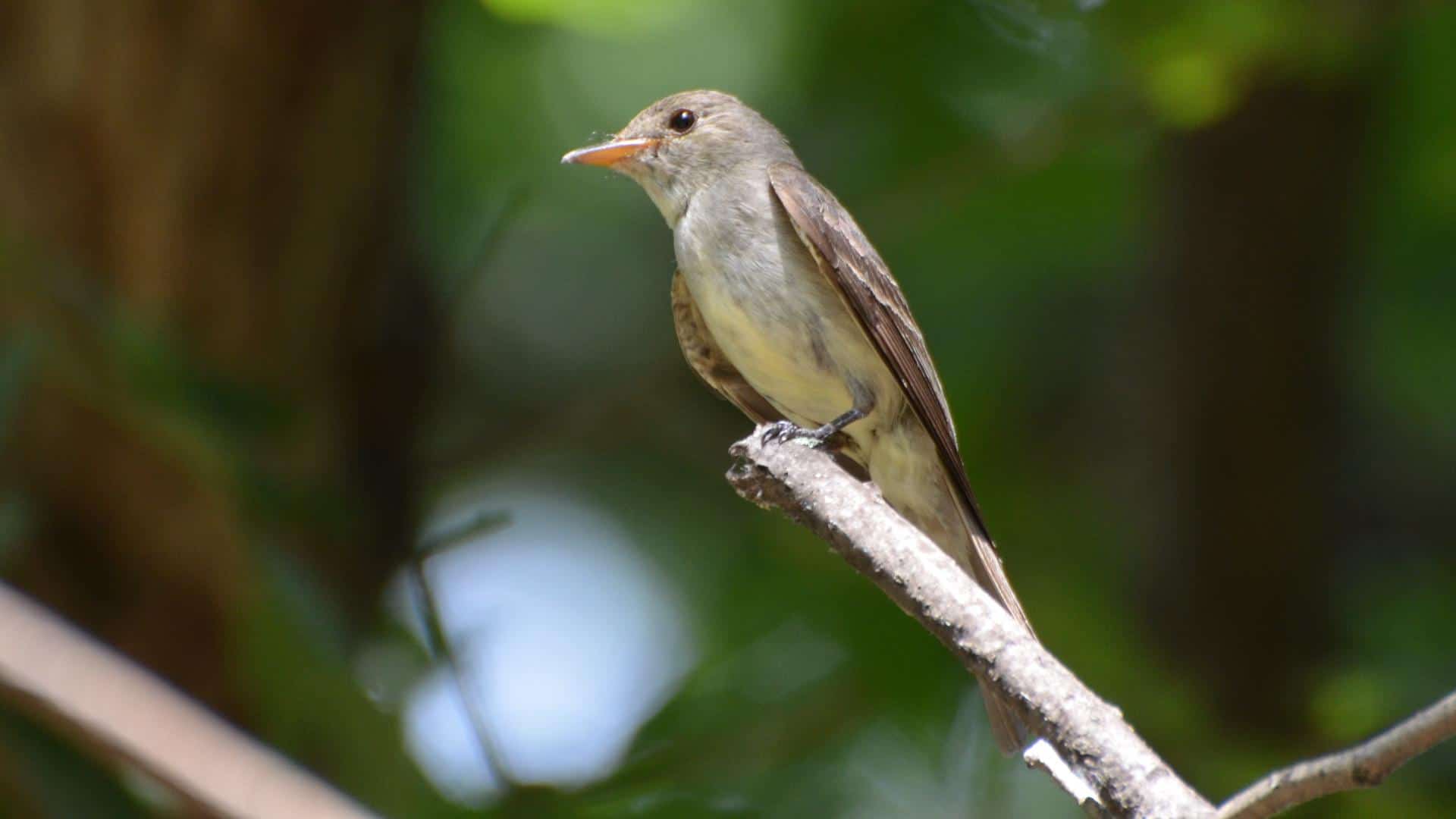
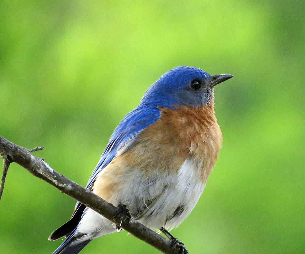
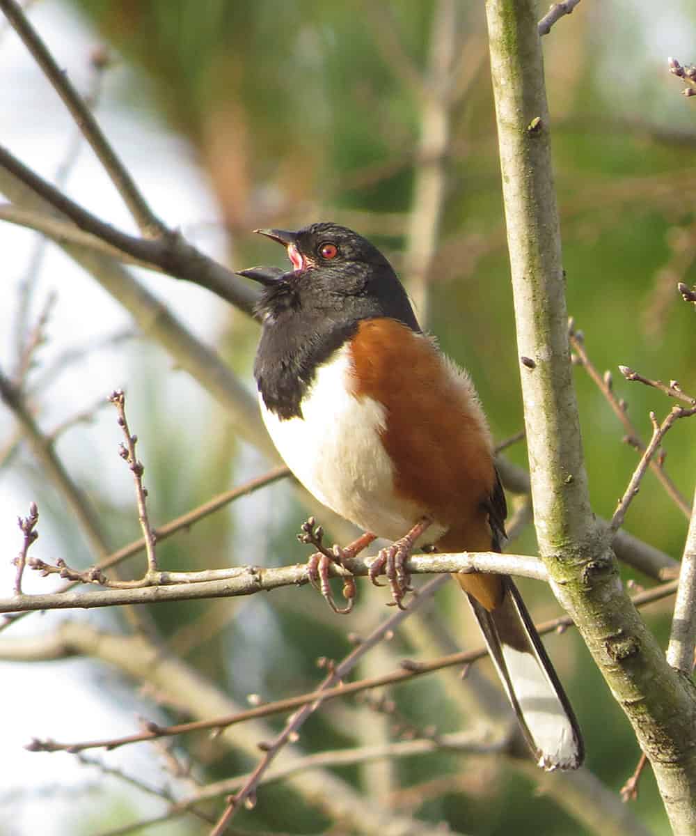
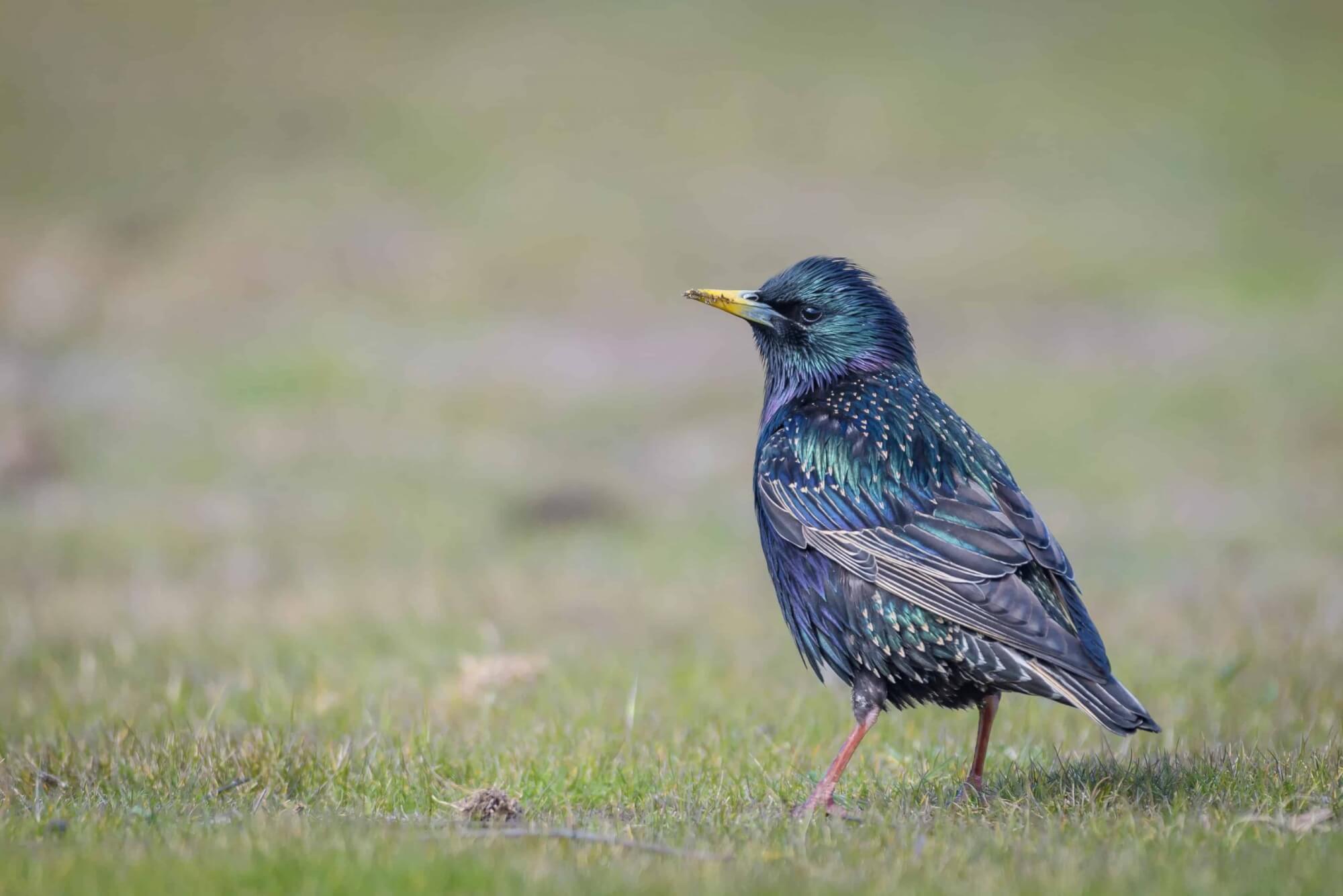
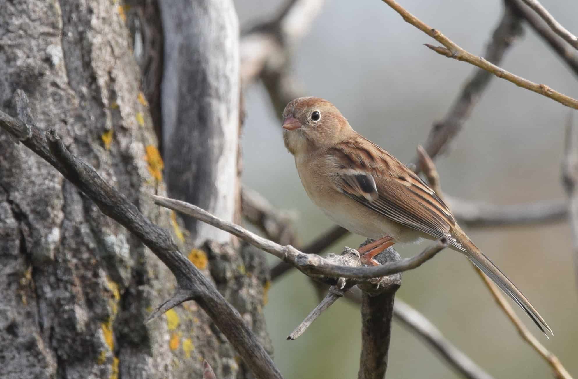
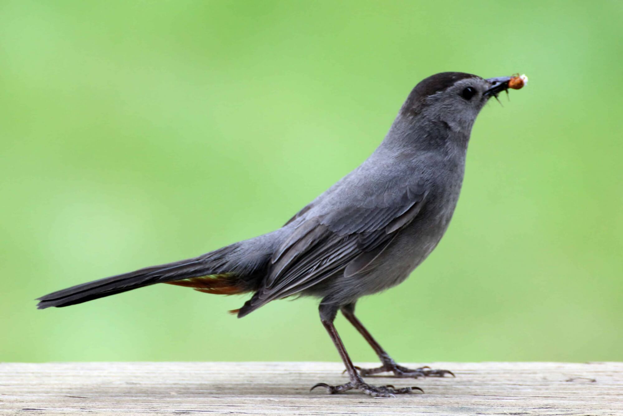
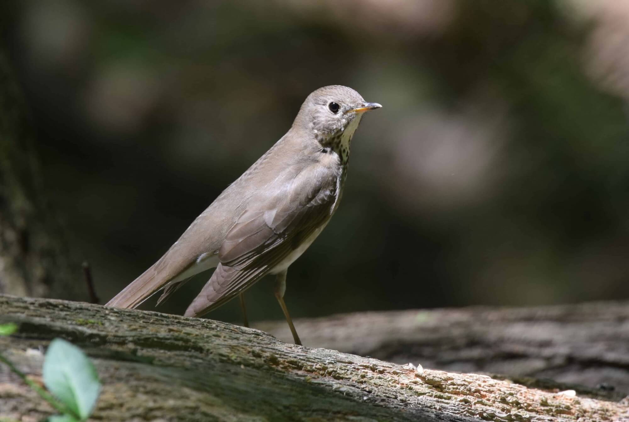
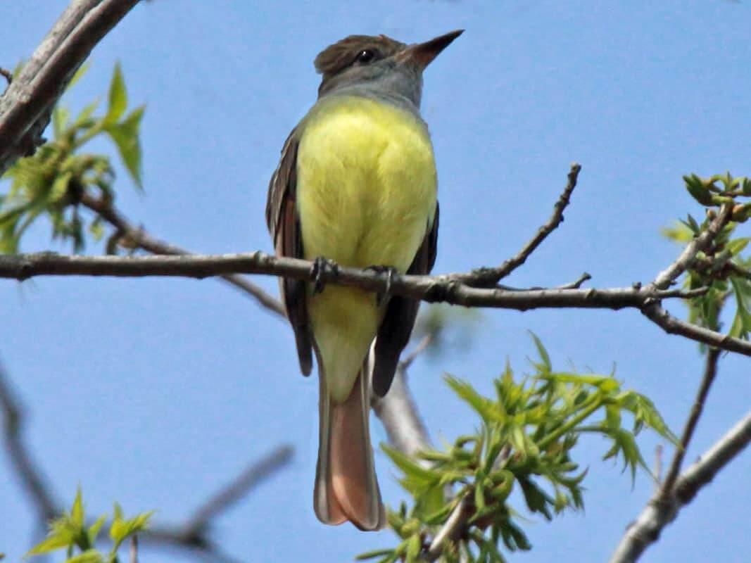
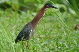
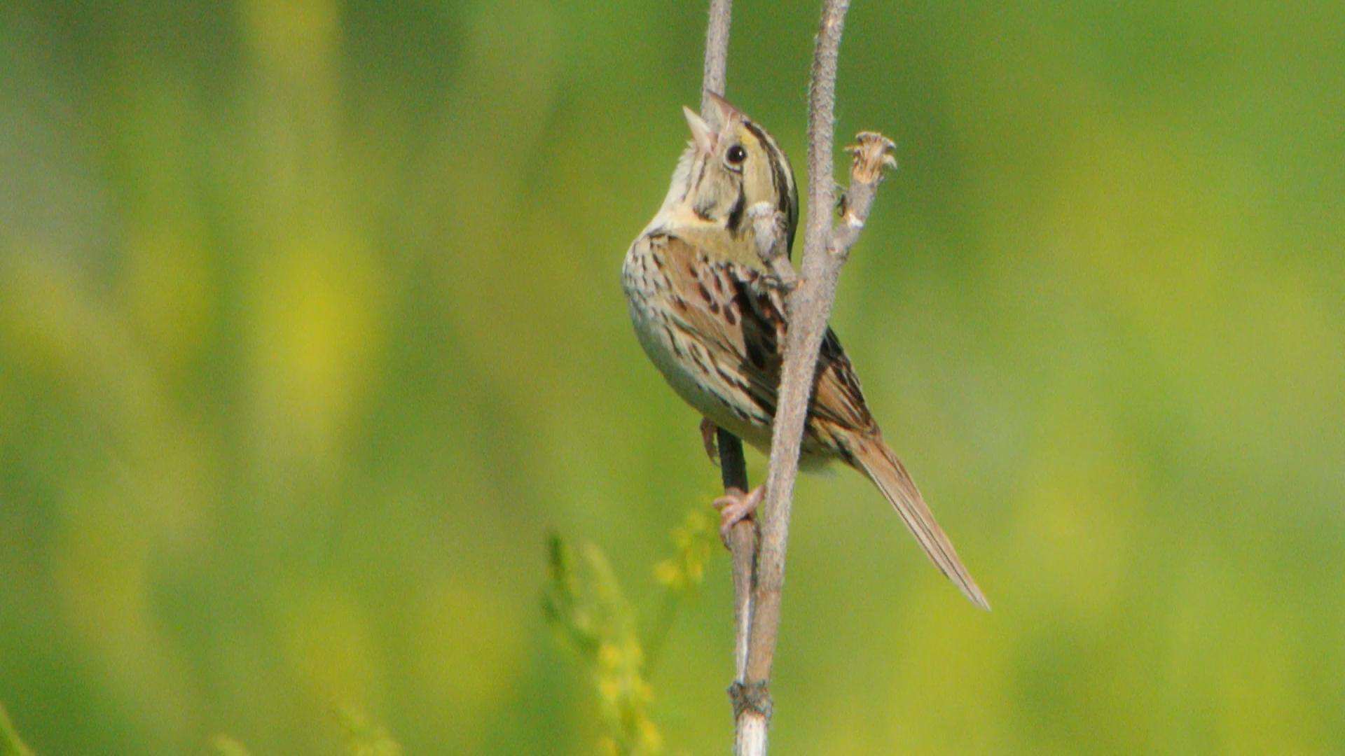
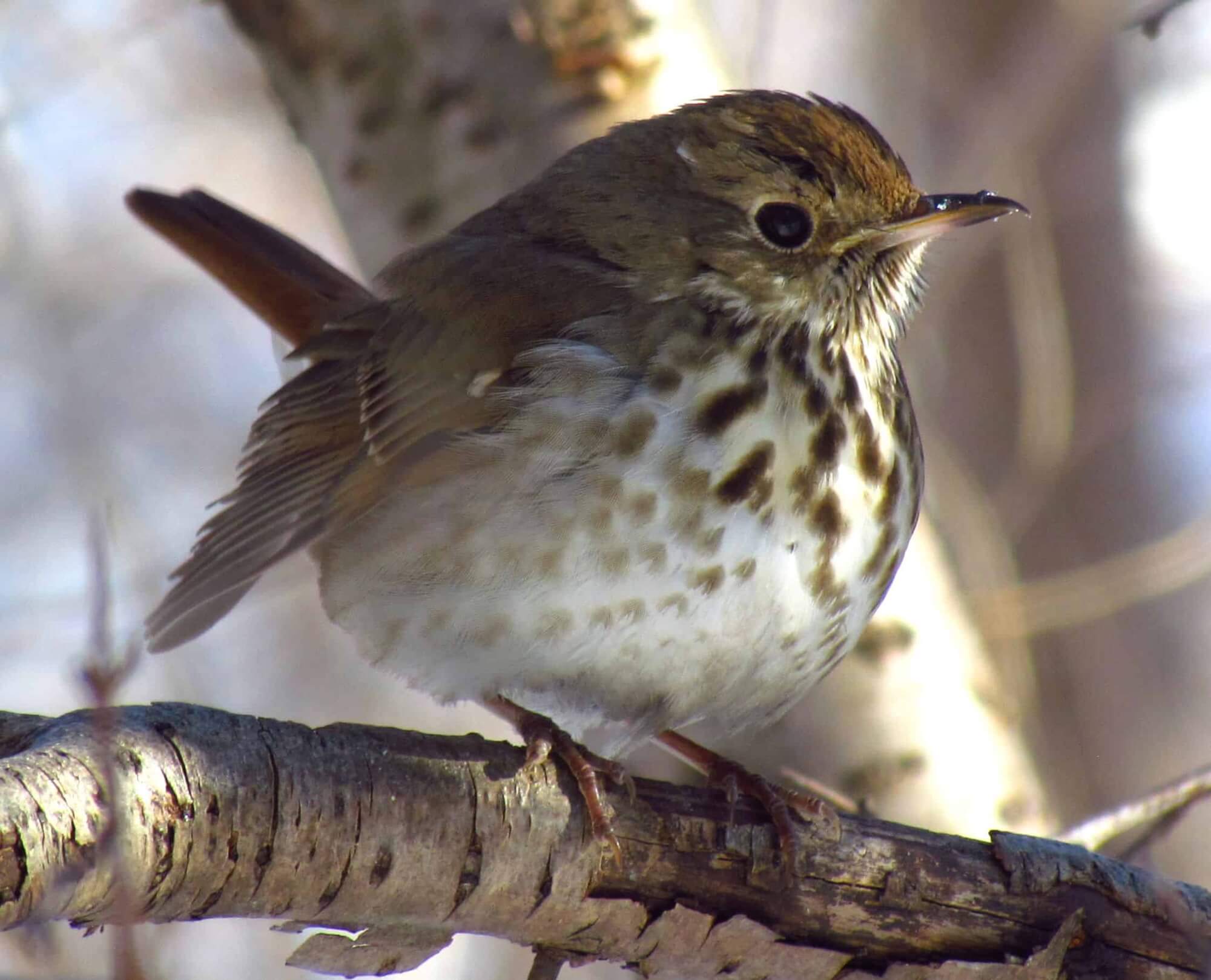
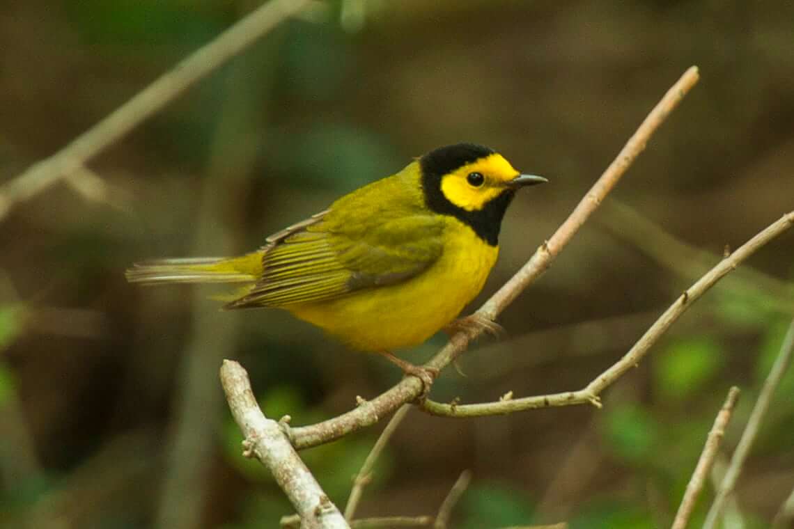
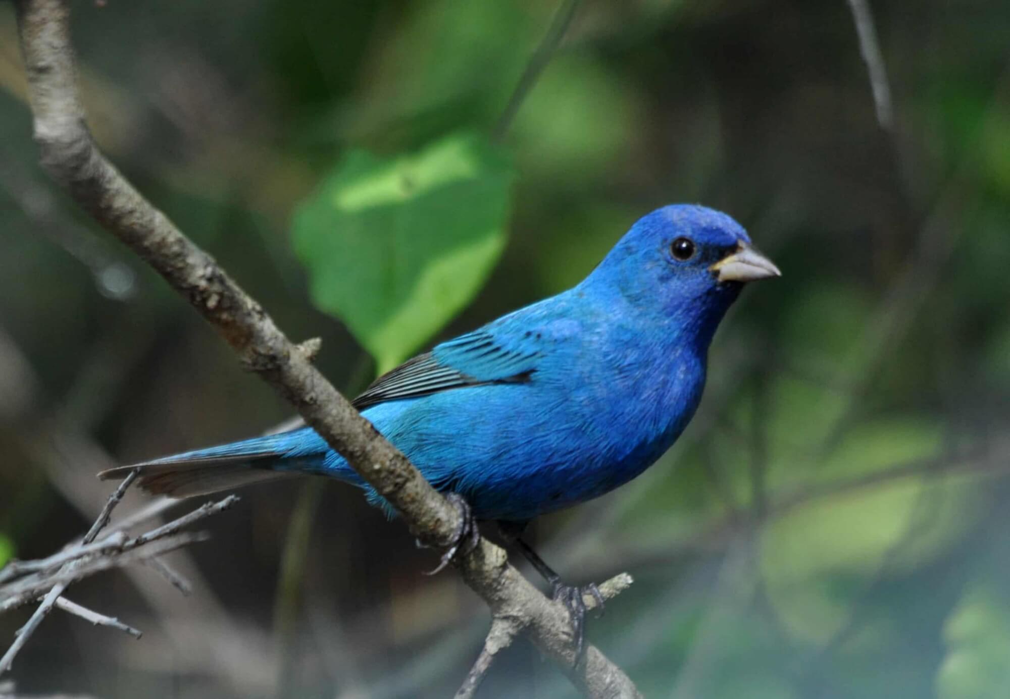
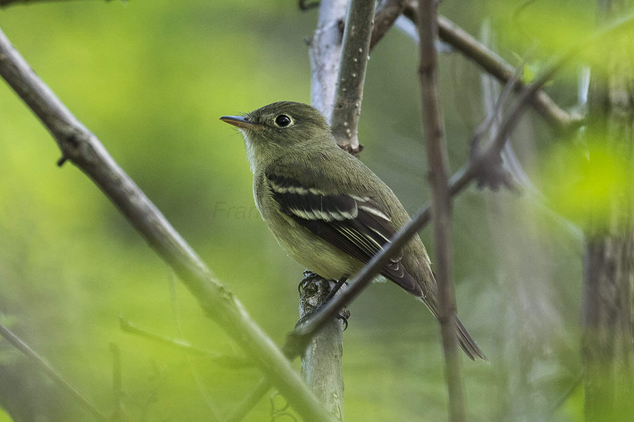
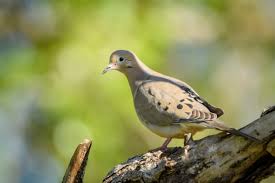
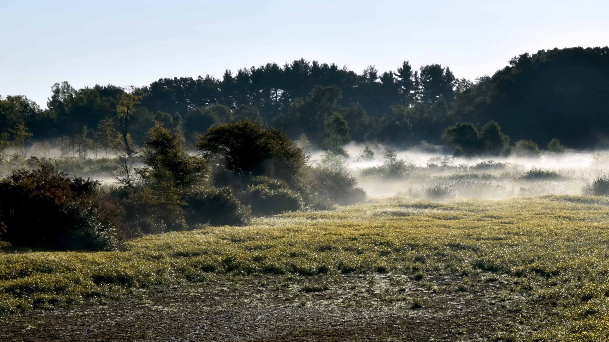
The water level in the marsh changes seasonally. The water is highest in the spring and lowest in the late summer. The water level begins to rise when it rains in the late fall. Most of the plants and wildlife have adjusted to these changes. We get migratory birds in the spring and fall. Some birds nest in the marsh in the summer. There a many spring, summer and fall flowers, that produce seed and fruit for wildlife to eat. Sit on the observation tower for a while with a pair of binoculars and you will see many more birds than you realized were there.
Leaving the marsh going south on the marsh trail
As you leave the marsh going south you will cross the culvert that is the main drain from the upper marsh to the lower marsh. The piles of sticks and mud on both up-stream sides of the culvert are from torn out beavers’ dams. Once out of the marsh there is a trail going to the right. It goes past a recently thinned tree planting that was planted in 2005. That trail turns to the right at the west property line and curves around to a bench on the edge of the largest pond that was created by the mining of marl in the late 1940’s.
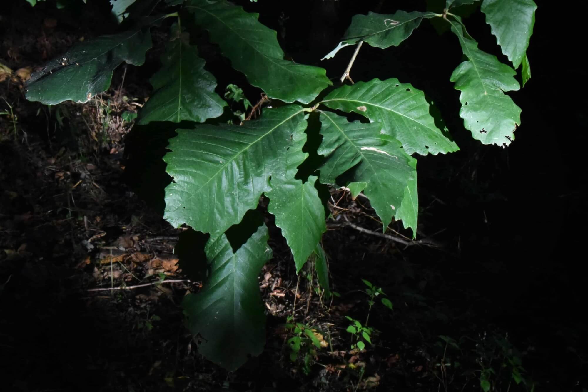
Back on the main marsh trail, if you go about 50 feet further south, there is a trail going to the left. This trail starts in the meadow, but soon there is an oak woods on the right and young trees planted on the left. The oak woods was grazed by livestock until the 1960’s and had over mature trees harvest in 2017. The harvest openings are full of young oak saplings. The planted trees on the left (north) side of this trail are the remains of an American chestnut breeding orchard. Part of the American Chestnut Foundation’s program to breed blight resistant American chestnut trees. These remaining trees represent the 4th breeding step of a 6-step breeding program to produce blight resistant trees. You are welcome to keep and eat any chestnuts you might fine on the ground. Nuts fall around the end of September. The nuts fall out of the spinney burrs and land on the ground. They are hard to find because the wildlife eats them as soon as they fall.
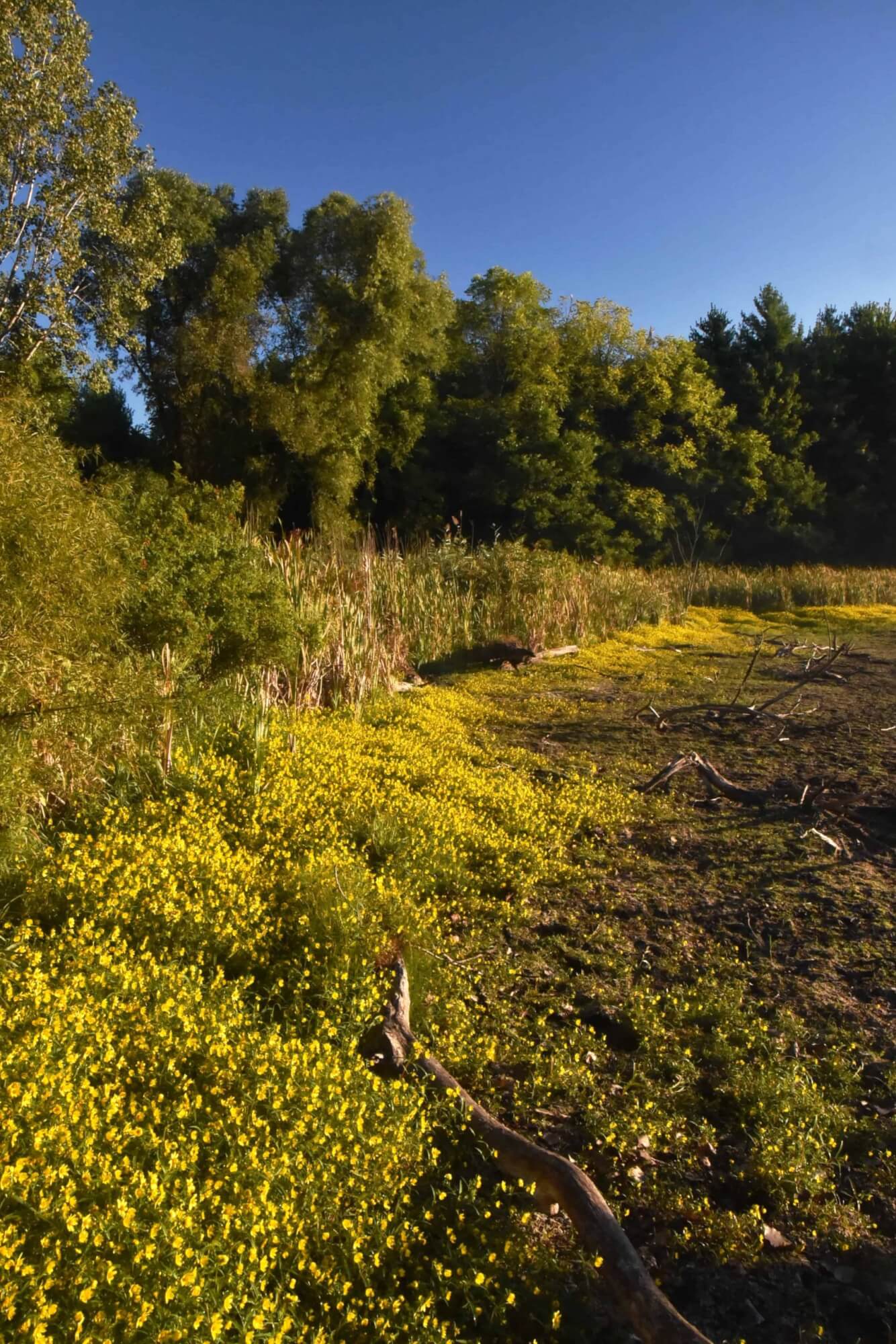
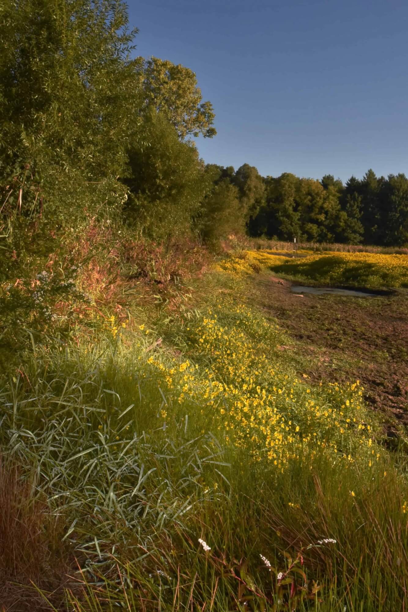
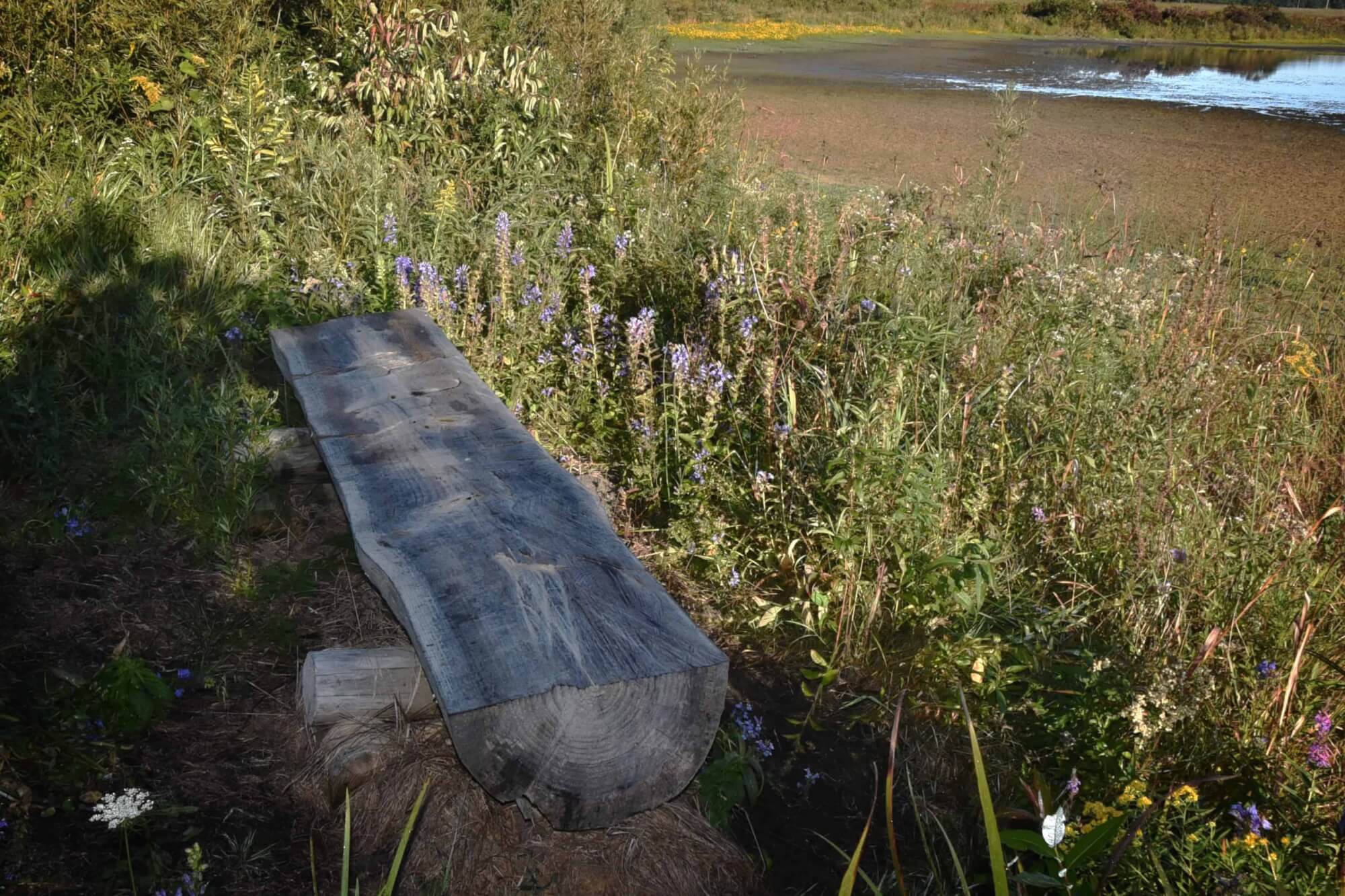
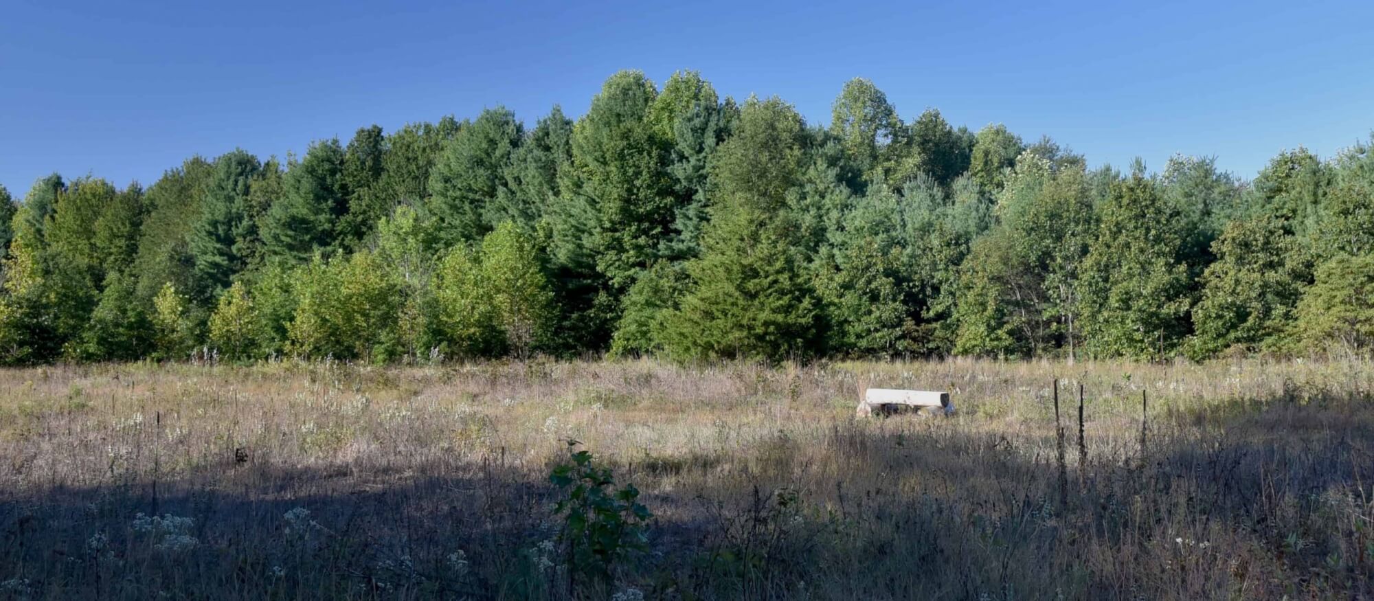
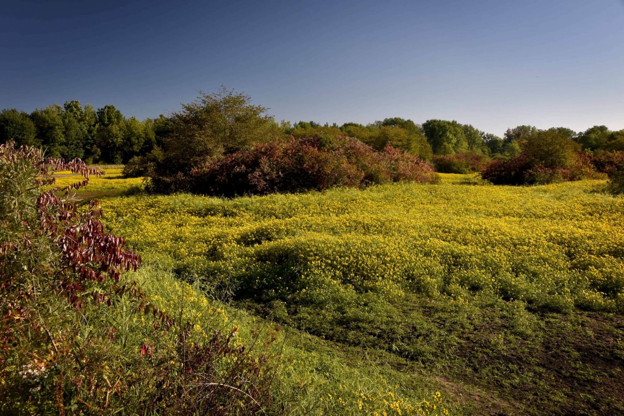
Back on the main marsh trail, head south through the meadow. The wildflowers are very pretty during parts of the summer. The bench in the meadow is made from white pine from the property.
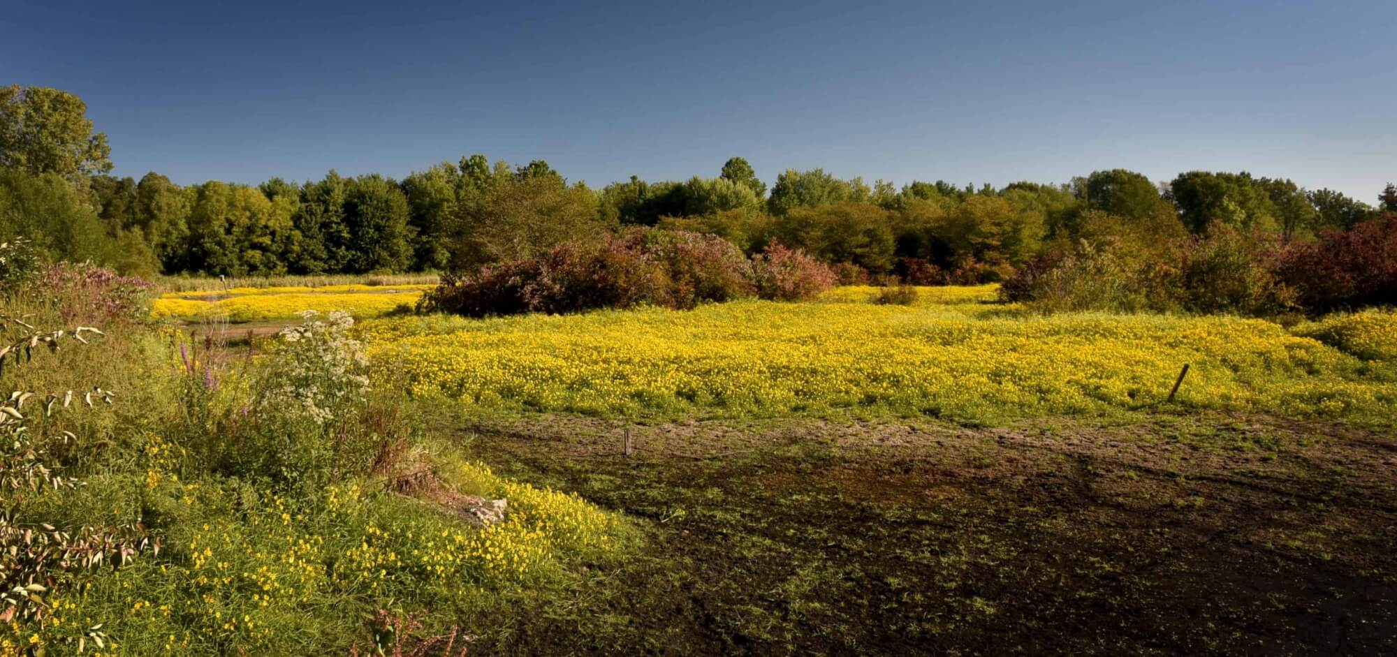
As you cross to the south side of the meadow the main lane turns to the right and as the lane turns there is a side trail to the left leading to the lily-frog pond. Take this side trail to the bench under the willow tree to Stop (4).
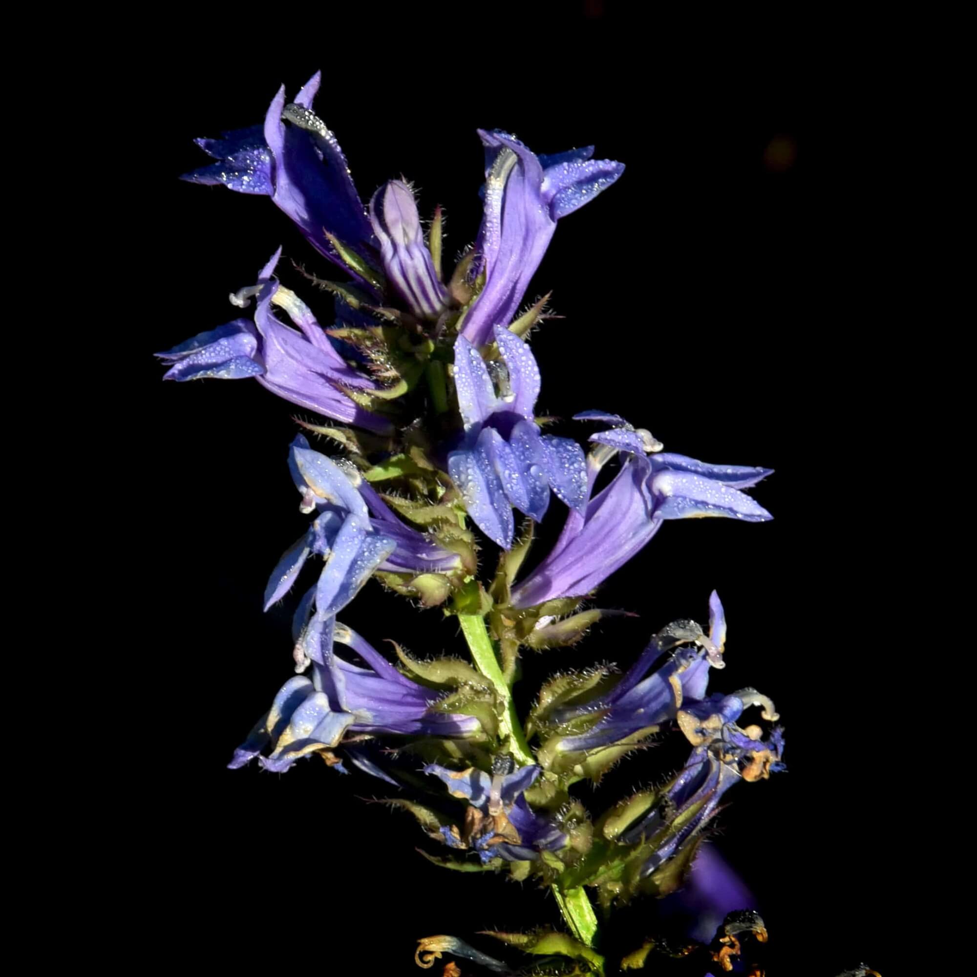
The pond was dug in 1991 to create a sheltered pond for migratory ducks, which do use it in spring and fall. Before I purchased the property in 1985 the area was a wet part of the crop field that was often too wet to farm. The lilies grew in the pond the second year after it was dug. During the summer the lily flowers open during the day. There are many frogs in the pond because the water is too shallow for fish, which eat frogs. A few very rare wild marsh irises grow near the waters edge on the north side of the pond. If they are in bloom, enjoy but do not touch. Sitting on the bench under the willow tree is a good place to sit and watch nature. The tree planting at the west end of the pond is a mixture of 6 different species of wetland oak species. The planting was designed to determine which oak species does best on Starke County poorly drained black sand soils.
Back out on the main trail follow the curve and walk south to the intersection of a trail to the left (stop 5).
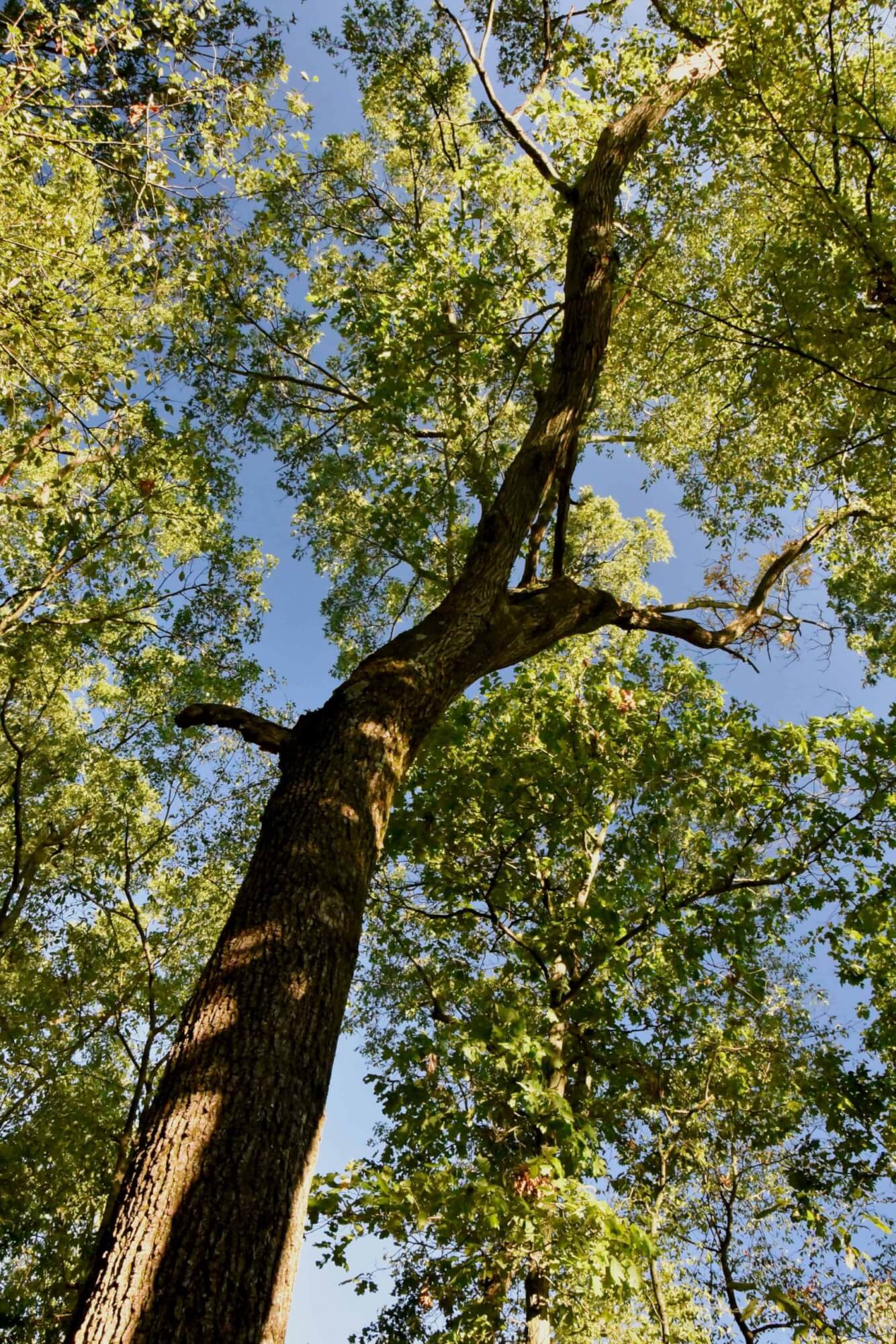
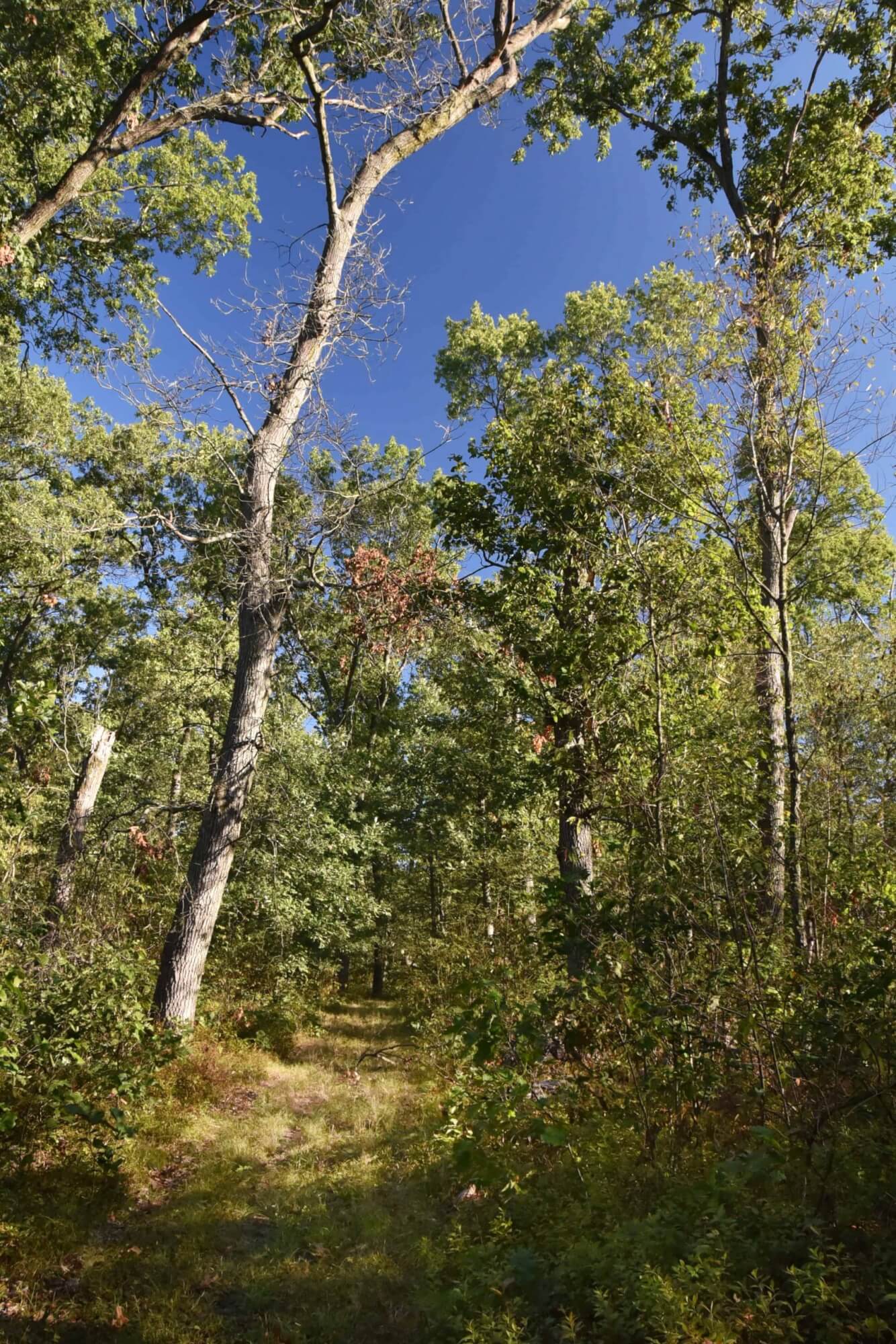
On your right, west side of the main lane, is a 9-acre 1987 tree planting, and ahead and on the east side is a 9-acre 1896 tree planting. These plantings have a mixture of white pine, tulip, soft maple, burr oak, red oak, white oak, black walnut, black cherry, and black oak. They have been thinned twice, with the second thinning including a harvest of some white pine in 2015. These two tree plantings were planted to soybeans in 1985.
Continue south to the end of the main lane at the trail map sign.
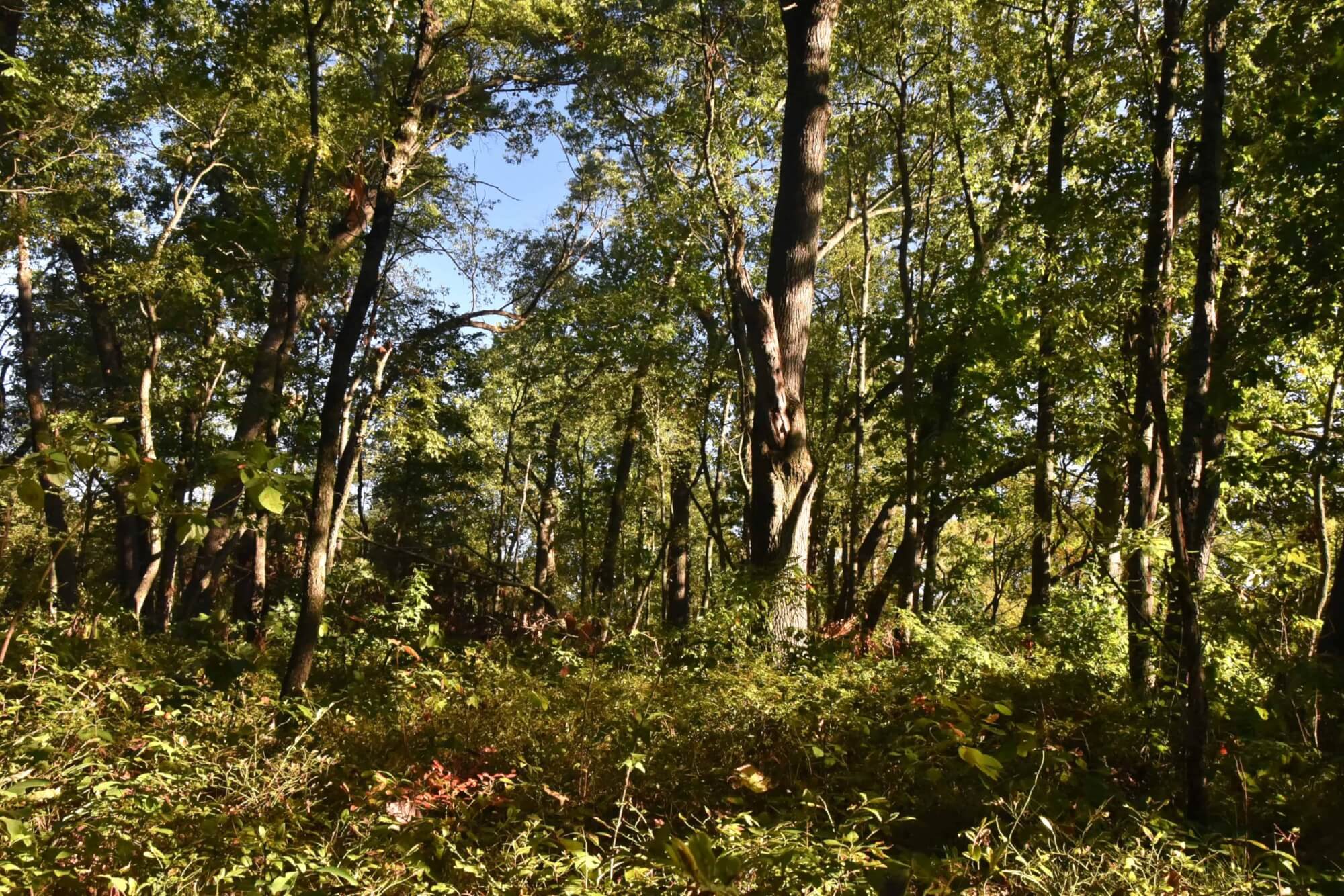
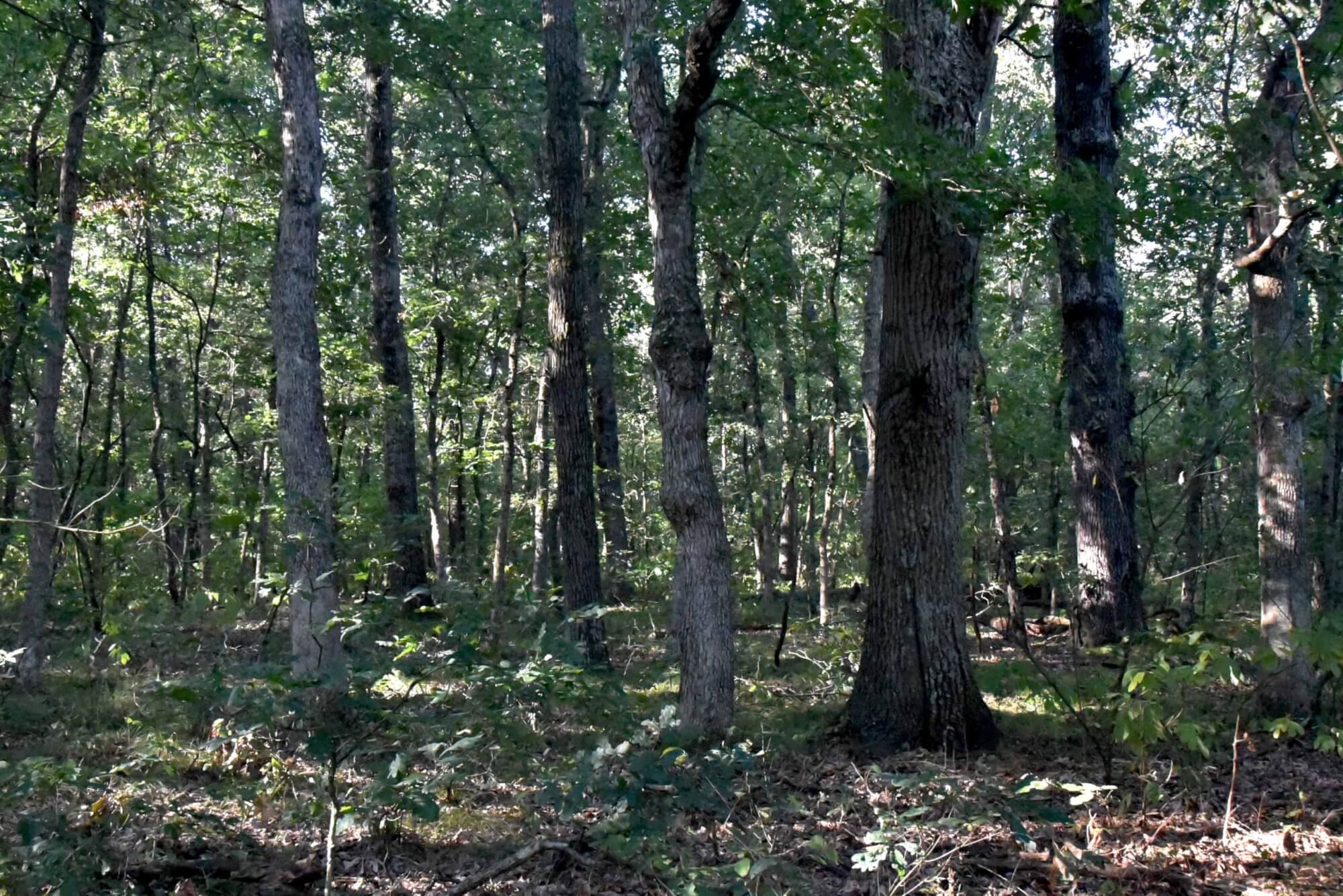
The woodland ahead behind the trail map sign is 13 acres that I purchased in 1973. This woods was clear cut in the 1950’s and most of the current trees grew from stump sprouts following that harvest. When I bought it in 1973 those trees were what we call fence post or small pole sized trees. The Starke County Forest had a timber sale in this area in 2017 to thin this woods and market the most mature of these trees. Income from these timber sales is what pays for the maintenance and improvements of the Starke county Forest.
History of Starke County Forest
The north 80 acres of the Starke County Forest were granted to John Marks of Butler County Ohio, in 1852. John sold it two years later for $150. The marsh in the north 80 acres was ditched and drained for use as farmland in 1899. As recently as 1945, onions were being raised in what is once again marsh. During the early 1900s most of the 129-acre Starke County Forest was cleared of timber and farmed. Three areas totaling 30 acres on the highest and sandiest ground were left in woodlands. A farmhouse and large barn were located on Division Road, and the house was lived in until I had it burned down by the Washington Township fire department about 1997. The barn was large with a hay mound, but it was in bad condition; and I tore it down in 1995. It had been used for storing equipment, and the onions produced in what had been the drained marsh. The footings for the house can still be found. The Lilly-Frog pond, located south of the main marsh, was dug in 1991. The marsh was mined for marl from the late 1940s until 1952. The largest and west most pond was the result of that mining along with several smaller ponds west of the center lane. To enhance wildlife habitat, I had the two ponds east of the center lane and on both sides of the old ditch, and the south pond just west of the lane, dug during the drought year of 1988. I purchased this north 80 acres in 1985. At that time most of the acreage was being farmed, except the marsh, the 7-acre woods, and the acre around the house and barn. I planted most of this cropland to trees in 1986, 1987, and 1989. The American Chestnut BC3F1 orchard, located south of the main marsh and east of the center lane, was planted in 1997. This orchard is one of many representing breeding step number 4 in a process requiring 6 breeding steps in an effort to breed trees resistant to chestnut blight. Work in this orchard was completed in 2007.
The south 49 acres of the Starke County Forest were granted from the US government in 1847 to Mary Ann Robbins for service in the Army. The old farm buildings associated with this south part were located just west of the Starke County Forest along SR 8 and were demolished before the 1960s. Parts of the old house footings can still be found. Fourteen acres of the south part of the forest were farmed until 1987 when I planted it to trees. This area is now mostly pole sized white pine. Ten acres of this south part were a Christmas tree field of Scotch pine during the 1960s. When the Christmas tree harvest was completed, all the unharvested trees were left to grow. I purchased this east 35 acres in 2000 and I cut down most of the remaining Scotch pine in 2001 to allow the oak that had regenerated naturally under the pine to grow. The pond in the south part was dug in 2005. The mostly open area along SR 8 was an apple orchard until about 1990. The 5 acres in the middle of the 13-acre woods in the west part of this south area is a timber productivity demonstration area. Every tree 12 inches in diameter and larger are measured every 5 years to determine their growth rates and productivities. This information is used by foresters to educate the public and to promote timber production. This west 1-acre woodland it is the result of regrowth after a clear-cut at about the time of World War II. I purchased this 13-acres in 1973.
This 129-acres was donated to Starke County by Bruce Wakeland in the form of the Irrevocable Starke County Forest Trust in 2011. The purpose is to provide a location for forest and wetland education and recreation for the general public. Includes 5 miles of walking trails giving access to approximately 22 acres of ponds and marshes, 40 acres of native woodlands, 62 acres of tree plantings, and 5 acres of open areas.